– Lat/Long: 35.97° N 138.37° E
 Yatsu ga Take – Climbing, Hiking & Mountaineering information

Yatsu ga Take Guide
- Elevation: 2899
- Difficulty: Walk up
- Best months to climb: January, July, August, September, October
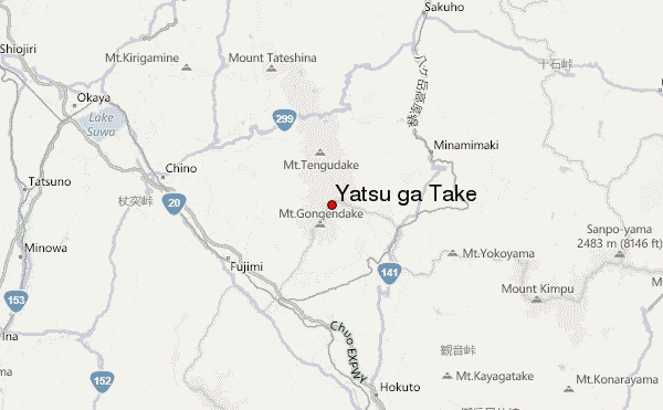
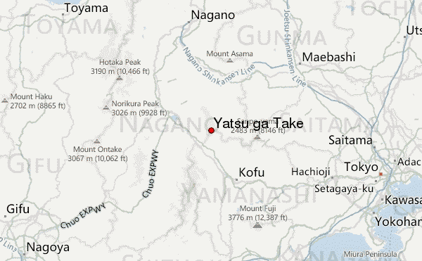
- Convenient center: Suwa, Kofu
Yatsu ga Take climbers NotesBe the first to submit your climbers note! Please submit any useful information about climbing Yatsu ga Take that may be useful to other climbers. Consider things such as access and accommodation at the base of Yatsu ga Take, as well as the logistics of climbing to the summit. |
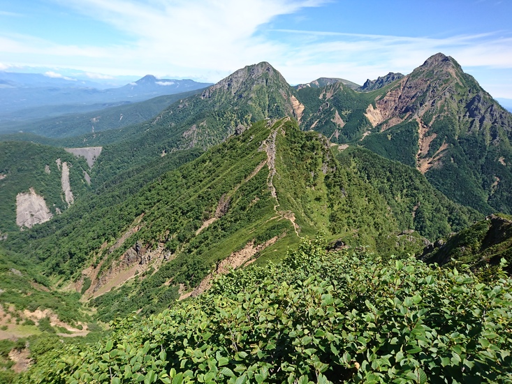
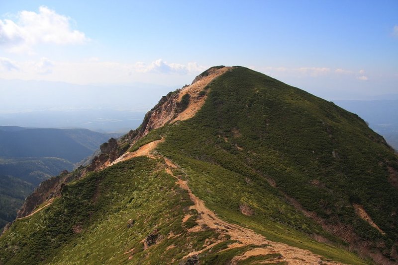
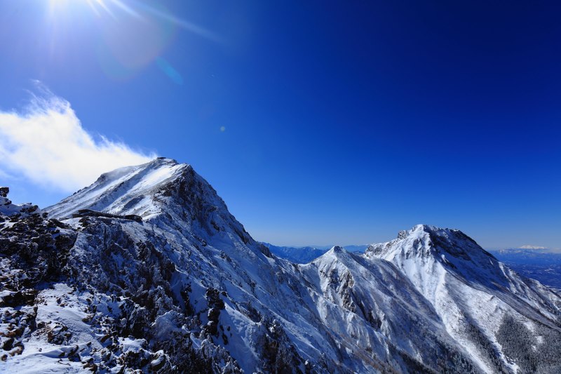
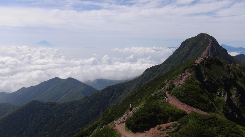
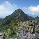
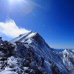
Latest Gallery Images for Yatsu ga Take
| Select a
mountain summit from the menu |
||
|
Select a Mountain Summit
|
||
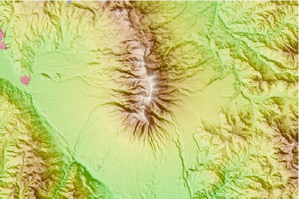
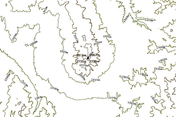
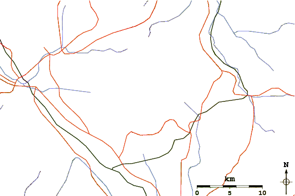
Use this relief map to navigate to mountain peaks in the area of Yatsu ga Take.
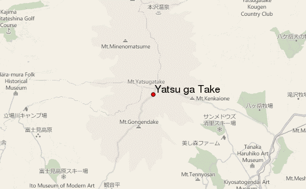
10 other mountain peaks closest to Yatsu ga Take:
| 1. | Mount Aka (Yatsugatake) (2899 m) | 0.4 km |
| 2. | 赤岳山荘 (2756 m) | 0.4 km |
| 3. | オーレン小屋 (2437 m) | 0.8 km |
| 4. | 赤岳頂上山荘 (2728 m) | 0.8 km |
| 5. | キレット小屋 (2351 m) | 1.3 km |
| 6. | Mount Yoko (Southern Yatsugatake) (2829 m) | 1.8 km |
| 7. | 湯の谷荘 (2219 m) | 2.3 km |
| 8. | 赤岳天望荘 (2656 m) | 2.9 km |
| 9. | しらびそ小屋 (2386 m) | 3.2 km |
| 10. | Mount Iō (Yatsugatake) (2760 m) | 3.5 km |