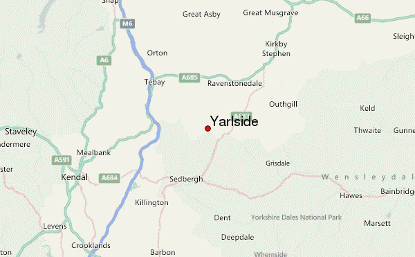
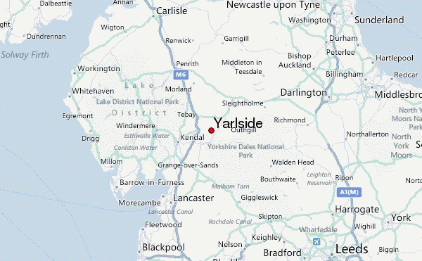
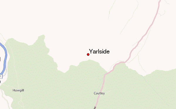
– Lat/Long: 54.38° N 2.49° W
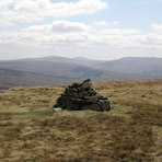
 Yarlside – Climbing, Hiking & Mountaineering information

Yarlside Guide
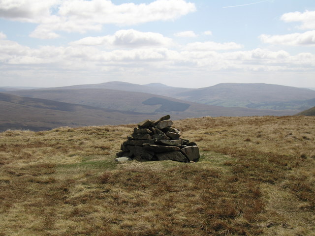
- Elevation: 639
- Difficulty: -
- Best months to climb: -
- Convenient center: -
Yarlside climbers NotesBe the first to submit your climbers note! Please submit any useful information about climbing Yarlside that may be useful to other climbers. Consider things such as access and accommodation at the base of Yarlside, as well as the logistics of climbing to the summit. |
| Select a
mountain summit from the menu |
||
|
Select a Mountain Summit
|
||
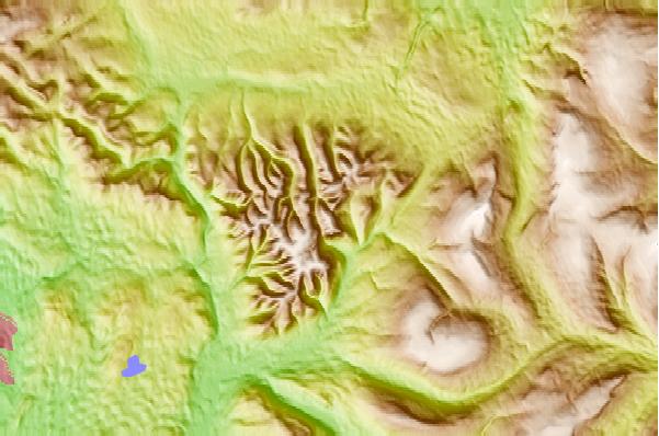
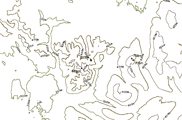
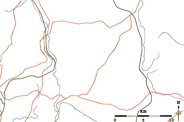
Use this relief map to navigate to mountain peaks in the area of Yarlside.
10 other mountain peaks closest to Yarlside:
| 1. | The Calf (676 m) | 2.4 km |
| 2. | Wild Boar Fell (708 m) | 7.3 km |
| 3. | Swarth Fell (681 m) | 7.3 km |
| 4. | Baugh Fell (678 m) | 8.8 km |
| 5. | Grayrigg Forest (494 m) | 8.8 km |
| 6. | Firbank Fell (310 m) | 9.0 km |
| 7. | Aye Gill Pike (556 m) | 10.5 km |
| 8. | Lambrigg Fell (339 m) | 10.8 km |
| 9. | Gregory Chapel (695 m) | 11.9 km |
| 10. | High Seat (Yorkshire Dales) (709 m) | 12.1 km |