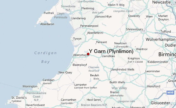
– Lat/Long: 52.45° N 3.80° W
 Y Garn (Plynlimon) – Climbing, Hiking & Mountaineering information

Y Garn (Plynlimon) Guide
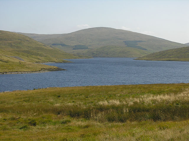
- Elevation: 684
- Difficulty: -
- Best months to climb: -
- Convenient center: -
Y Garn (Plynlimon) climbers NotesBe the first to submit your climbers note! Please submit any useful information about climbing Y Garn (Plynlimon) that may be useful to other climbers. Consider things such as access and accommodation at the base of Y Garn (Plynlimon), as well as the logistics of climbing to the summit. |
| Select a
mountain summit from the menu |
||
|
Select a Mountain Summit
|
||
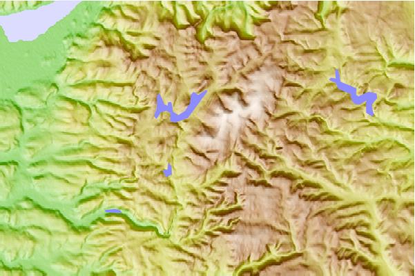
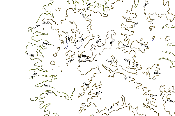
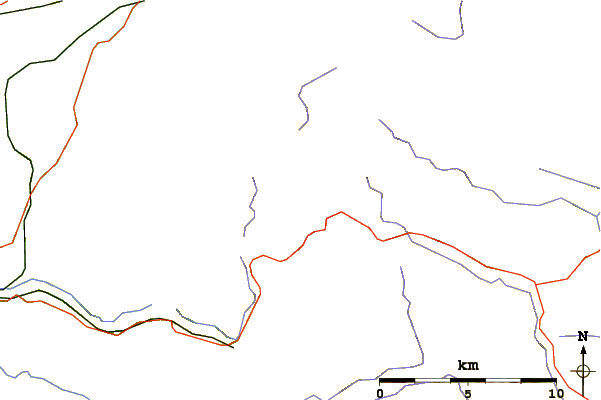
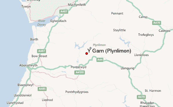
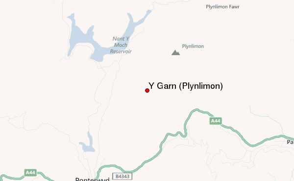
Use this relief map to navigate to mountain peaks in the area of Y Garn (Plynlimon).
10 other mountain peaks closest to Y Garn (Plynlimon):
| 1. | Pen Pumlumon Llygad-Bychan (727 m) | 2.3 km |
| 2. | Plynlimon Fawr (752 m) | 2.4 km |
| 3. | Pumlumon Fach (668 m) | 2.6 km |
| 4. | Pen Pumlumon Arwystli (741 m) | 4.8 km |
| 5. | Nant Syddion (310 m) | 6.0 km |
| 6. | Bwlch Nant yr Arian (420 m) | 6.1 km |
| 7. | Pen y Garn (610 m) | 8.3 km |
| 8. | Nant Rhys (466 m) | 8.4 km |
| 9. | Coedwig Dyfi Forest (869 m) | 18.7 km |
| 10. | Constitution Hill (131 m) | 19.2 km |