– Lat/Long: 52.10° N 2.33° W
 Worcestershire Beacon – Climbing, Hiking & Mountaineering information
Worcestershire Beacon Guide
- Elevation: 425
- Difficulty: Walk up
- Best months to climb: March, April, May, June, July, August, September, October
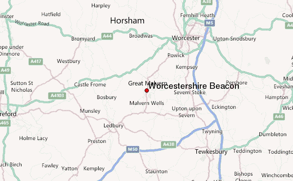
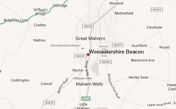
- Convenient center: Great Malvern
Worcestershire Beacon climbers NotesBe the first to submit your climbers note! Please submit any useful information about climbing Worcestershire Beacon that may be useful to other climbers. Consider things such as access and accommodation at the base of Worcestershire Beacon, as well as the logistics of climbing to the summit. |
Latest Gallery Images for Worcestershire Beacon
| Select a
mountain summit from the menu |
||
|
Select a Mountain Summit
|
||
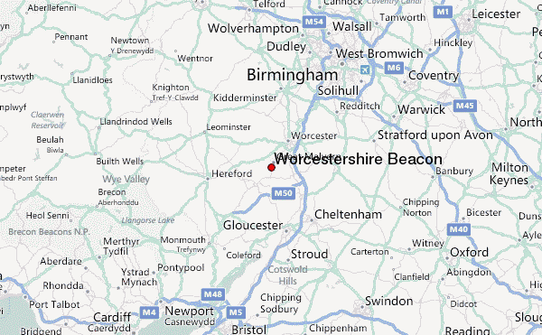
Use this relief map to navigate to mountain peaks in the area of Worcestershire Beacon.
10 other mountain peaks closest to Worcestershire Beacon:
| 1. | Bredon Hill (299 m) | 19.0 km |
| 2. | May Hill (296 m) | 24.7 km |
| 3. | Cleeve Hill (330 m) | 30.0 km |
| 4. | Ruardean Hill (290 m) | 31.1 km |
| 5. | Flyup 417 Bike Park (241 m) | 32.6 km |
| 6. | Bilberry Hill (244 m) | 37.9 km |
| 7. | Titterstone Clee Hill (533 m) | 37.9 km |
| 8. | Kinver Edge (164 m) | 38.1 km |
| 9. | Walton Hill (316 m) | 38.9 km |
| 10. | Clent Hills (309 m) | 38.9 km |