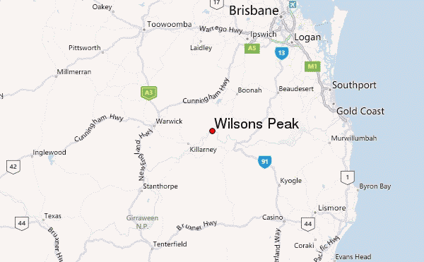
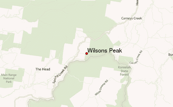
– Lat/Long: 28.25° S 152.48° E
 Wilsons Peak – Climbing, Hiking & Mountaineering information

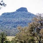
Wilsons Peak Guide
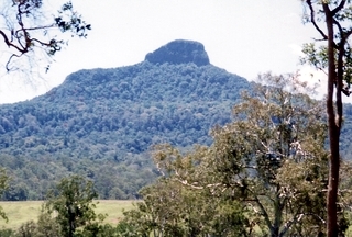
- Elevation: 1230
- Difficulty: -
- Best months to climb: -
- Convenient center: -
Wilsons Peak climbers NotesBe the first to submit your climbers note! Please submit any useful information about climbing Wilsons Peak that may be useful to other climbers. Consider things such as access and accommodation at the base of Wilsons Peak, as well as the logistics of climbing to the summit. |
| Select a
mountain summit from the menu |
||
|
Select a Mountain Summit
|
||
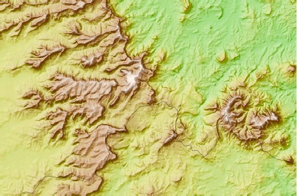
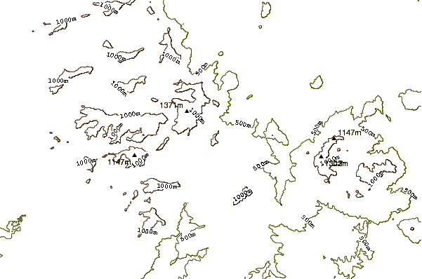
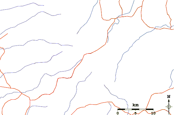
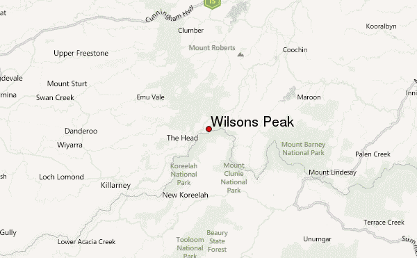
Use this relief map to navigate to mountain peaks in the area of Wilsons Peak.
10 other mountain peaks closest to Wilsons Peak:
| 1. | Mount Asplenium (1294 m) | 12.2 km |
| 2. | Mount Barney (1450 m) | 21.4 km |
| 3. | Spicers Peak (1205 m) | 24.0 km |
| 4. | Mount Lindesay (Queensland) (1177 m) | 25.8 km |
| 5. | Mount Cordeaux (1144 m) | 26.7 km |
| 6. | Mount French (Queensland) (579 m) | 30.8 km |
| 7. | Tamrookum Creek Mountain Bike Park (457 m) | 34.4 km |
| 8. | Mount Superbus (1375 m) | 52.8 km |
| 9. | Hidden Vale Adventure Park (496 m) | 59.6 km |
| 10. | Mt Warning (1159 m) | 77.9 km |