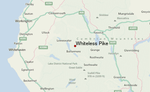
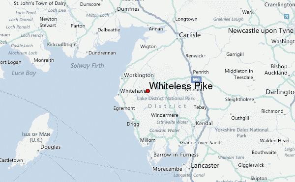
– Lat/Long: 54.56° N 3.27° W
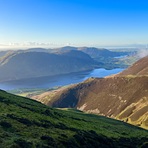
 Whiteless Pike – Climbing, Hiking & Mountaineering information

Whiteless Pike Guide
- Elevation: 660
- Difficulty: -
- Best months to climb: -
- Convenient center: -
Whiteless Pike climbers Notes
Click here to submit your own climbing note for Whiteless Pike |
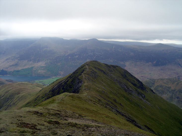
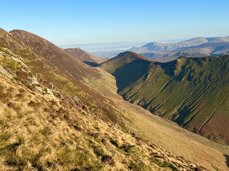
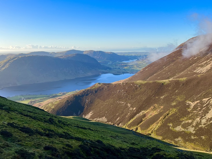
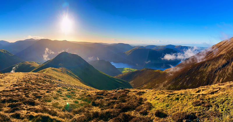
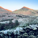
Latest Gallery Images for Whiteless Pike

| Select a
mountain summit from the menu |
||
|
Select a Mountain Summit
|
||
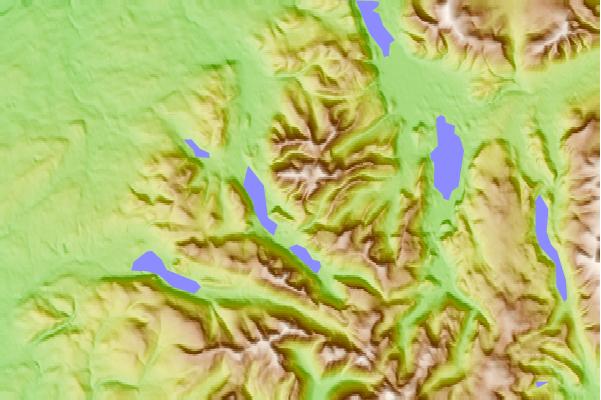
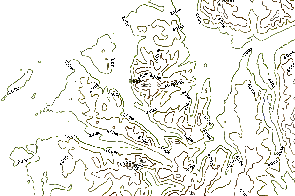
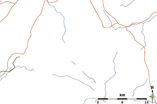
Use this relief map to navigate to mountain peaks in the area of Whiteless Pike.
10 other mountain peaks closest to Whiteless Pike:
| 1. | Wandope (772 m) | 1.1 km |
| 2. | Rannerdale Knotts (355 m) | 1.5 km |
| 3. | Grasmoor (851 m) | 1.5 km |
| 4. | Knott Rigg (556 m) | 1.8 km |
| 5. | Crag Hill (839 m) | 1.9 km |
| 6. | Sail (Lake District) (773 m) | 2.2 km |
| 7. | Ard Crags (581 m) | 2.7 km |
| 8. | Melbreak (512 m) | 3.0 km |
| 9. | Robinson (Lake District) (737 m) | 3.0 km |
| 10. | Hopegill Head (770 m) | 3.1 km |