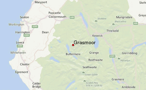
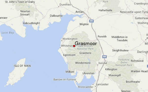
– Lat/Long: 54.57° N 3.28° W
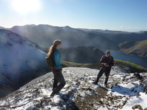
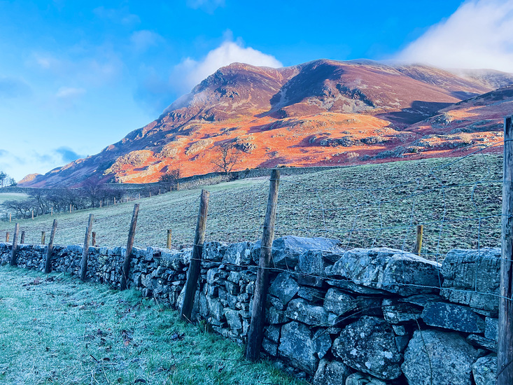
 Grasmoor – Climbing, Hiking & Mountaineering information

Grasmoor Guide
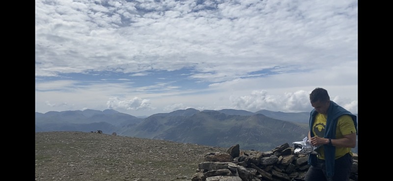
- Elevation: 851
- Difficulty: Walk up
- Best months to climb: January, February, March, April, May, June, July, August, September, October, November, December
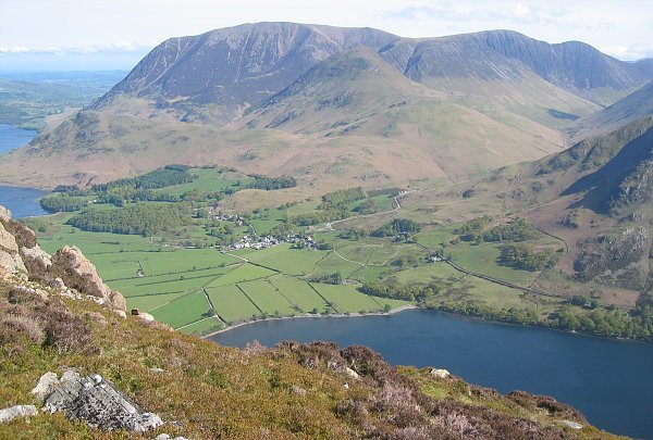
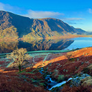
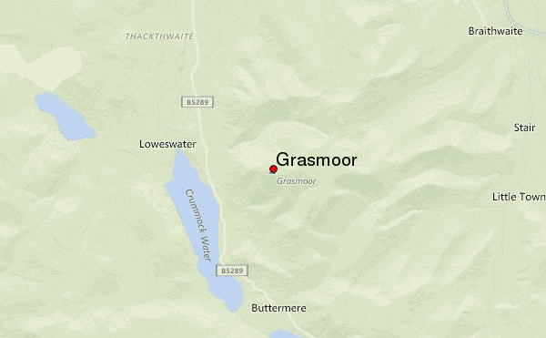
- Convenient center: Buttermere
Grasmoor climbers NotesBe the first to submit your climbers note! Please submit any useful information about climbing Grasmoor that may be useful to other climbers. Consider things such as access and accommodation at the base of Grasmoor, as well as the logistics of climbing to the summit. |


| Select a
mountain summit from the menu |
||
|
Select a Mountain Summit
|
||
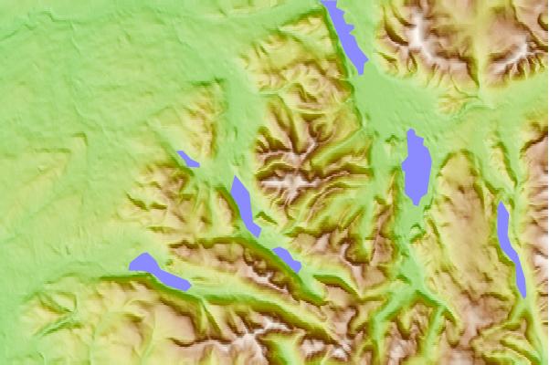
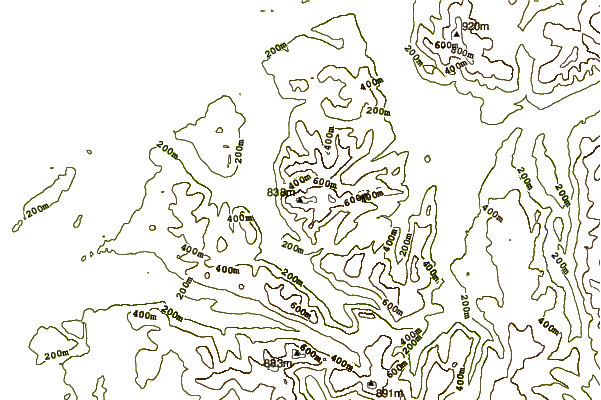
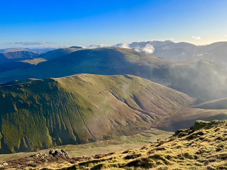
Use this relief map to navigate to mountain peaks in the area of Grasmoor.
10 other mountain peaks closest to Grasmoor:
| 1. | Wandope (772 m) | 1.5 km |
| 2. | Whiteless Pike (660 m) | 1.5 km |
| 3. | Whiteside (Lake District) (719 m) | 1.7 km |
| 4. | Crag Hill (839 m) | 1.8 km |
| 5. | Hopegill Head (770 m) | 2.0 km |
| 6. | Rannerdale Knotts (355 m) | 2.3 km |
| 7. | Sail (Lake District) (773 m) | 2.3 km |
| 8. | Knott Rigg (556 m) | 2.8 km |
| 9. | Ard Crags (581 m) | 3.1 km |
| 10. | Melbreak (512 m) | 3.2 km |