– Lat/Long: 45.24° N 70.82° W
 White Cap Mountain (Franklin County, Maine)

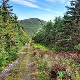
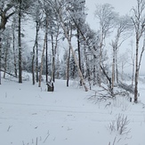
White Cap Mountain (Franklin County, Maine) Photos
View
photos from Appalachians (907) |
photos from United States (3052) |
all photos
 Upload new photo
 Sort by:
Latest uploads
Photos from mountains close to White Cap Mountain (Franklin County, Maine)

Boundary Peak (Maine)
Looking South - East from Boundary Peak
Boundary Peak (Maine)
Boundary Peak

Mount Gosford
Mount Gosford