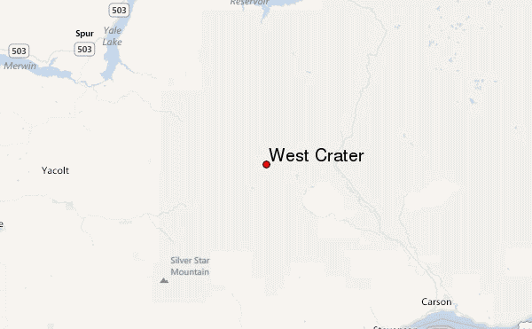
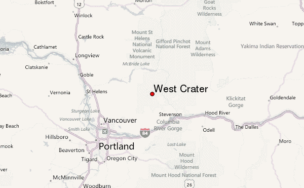
– Lat/Long: 45.87° N 122.08° W
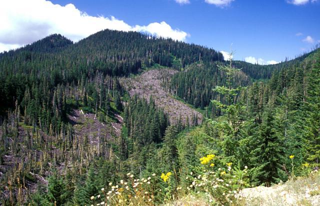
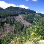
 West Crater – Climbing, Hiking & Mountaineering information

West Crater Guide
- Elevation: 1329
- Difficulty: -
- Best months to climb: -
- Convenient center: -
West Crater climbers NotesBe the first to submit your climbers note! Please submit any useful information about climbing West Crater that may be useful to other climbers. Consider things such as access and accommodation at the base of West Crater, as well as the logistics of climbing to the summit. |
| Select a
mountain summit from the menu |
||
|
Select a Mountain Summit
|
||
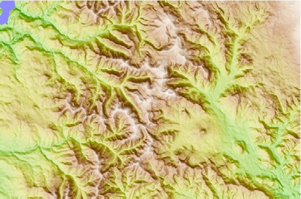
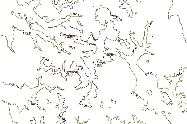

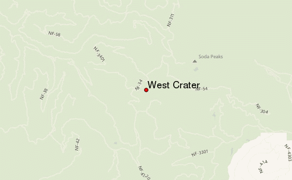
Use this relief map to navigate to mountain peaks in the area of West Crater.
10 other mountain peaks closest to West Crater:
| 1. | Government Mineral Springs Guard Station (372 m) | 7.0 km |
| 2. | Marble Mountain-Trout Creek Hill (150 m) | 7.1 km |
| 3. | Trout Creek Hill (890 m) | 8.0 km |
| 4. | Silver Star Mountain (Skamania County, Washington) (1330 m) | 18.5 km |
| 5. | Mount Mitchell (Washington) (1213 m) | 19.4 km |
| 6. | Greenleaf Peak (1044 m) | 20.0 km |
| 7. | Mount Indian Heave (1513 m) | 21.4 km |
| 8. | Table Mountain (Skamania County, Washington) (1042 m) | 21.8 km |
| 9. | Larch Mountain (Clark County, Washington) (1061 m) | 24.0 km |
| 10. | Elkhorn Mountain (Washington) (678 m) | 26.9 km |