– Lat/Long: 45.90° N 122.00° W
 Marble Mountain-Trout Creek Hill – Climbing, Hiking & Mountaineering information

Marble Mountain-Trout Creek Hill Guide
- Elevation: 150
- Difficulty: -
- Best months to climb: -
- Convenient center: -
Marble Mountain-Trout Creek Hill climbers NotesBe the first to submit your climbers note! Please submit any useful information about climbing Marble Mountain-Trout Creek Hill that may be useful to other climbers. Consider things such as access and accommodation at the base of Marble Mountain-Trout Creek Hill, as well as the logistics of climbing to the summit. |
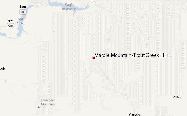
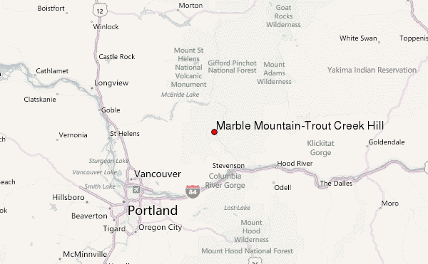
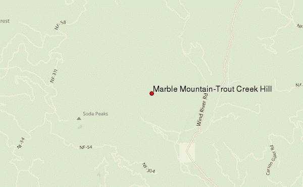
Select Marble Mountain-Trout Creek Hill Location Map Detail:
| Select a
mountain summit from the menu |
||
|
Select a Mountain Summit
|
||
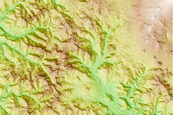
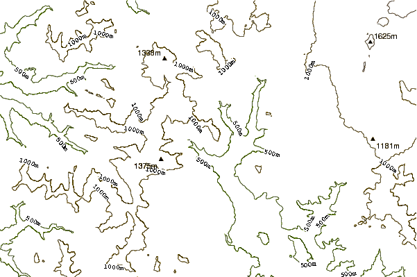
Use this relief map to navigate to mountain peaks in the area of Marble Mountain-Trout Creek Hill.
10 other mountain peaks closest to Marble Mountain-Trout Creek Hill:
| 1. | Government Mineral Springs Guard Station (372 m) | 2.2 km |
| 2. | Trout Creek Hill (890 m) | 7.0 km |
| 3. | West Crater (1329 m) | 7.1 km |
| 4. | Mount Indian Heave (1513 m) | 14.3 km |
| 5. | Greenleaf Peak (1044 m) | 20.9 km |
| 6. | Mount Mitchell (Washington) (1213 m) | 20.9 km |
| 7. | Table Mountain (Skamania County, Washington) (1042 m) | 23.3 km |
| 8. | Silver Star Mountain (Skamania County, Washington) (1330 m) | 25.1 km |
| 9. | Nestor Peak (941 m) | 29.2 km |
| 10. | Larch Mountain (Clark County, Washington) (1061 m) | 30.7 km |