– Lat/Long: 46.36° N 11.44° E
 Weißhorn (South Tyrol) (Weisshorn (South Tyrol)) – Climbing, Hiking & Mountaineering information

Weißhorn (South Tyrol) Guide
- Elevation: 2316
- Difficulty: -
- Best months to climb: -
- Convenient center: -
Weißhorn (South Tyrol) climbers NotesBe the first to submit your climbers note! Please submit any useful information about climbing Weißhorn (South Tyrol) that may be useful to other climbers. Consider things such as access and accommodation at the base of Weißhorn (South Tyrol), as well as the logistics of climbing to the summit. |
| Select a
mountain summit from the menu |
||
|
Select a Mountain Summit
|
||
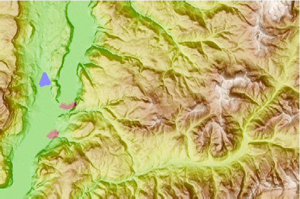
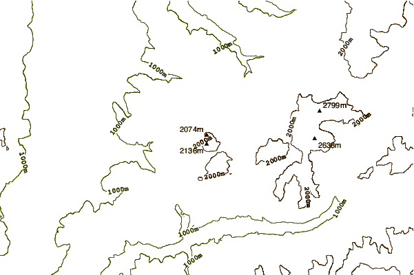
Use this relief map to navigate to mountain peaks in the area of Weißhorn (South Tyrol).
10 other mountain peaks closest to Weißhorn (South Tyrol):
| 1. | Schwarzhorn (South Tyrol) (2439 m) | 2.5 km |
| 2. | Torre di Pisa Mountain Hut (2671 m) | 9.3 km |
| 3. | Bivacco Latemar/sieff Attilio (2365 m) | 10.3 km |
| 4. | Cimon del Latemar (2842 m) | 10.3 km |
| 5. | Bivacco Forcella Grande/rigatti Mario (2620 m) | 11.2 km |
| 6. | Passo Santner - Santnerpass Mountain Hut (2741 m) | 14.0 km |
| 7. | Roda di Vael - Rotwand Mountain Hut (2283 m) | 16.2 km |
| 8. | Rifugio Fronza alla Coronelle (2337 m) | 16.3 km |
| 9. | Rosengartenspitze (2981 m) | 17.7 km |
| 10. | Re Alberto I - Gartl Mountain Hut (2621 m) | 18.1 km |