Wolfgang Koutek from GERMANY writes:
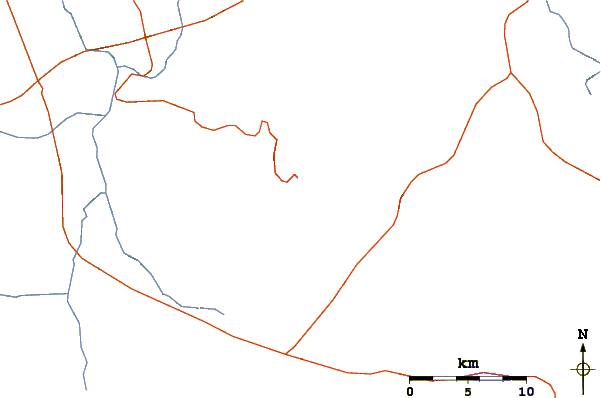
From Uyuni it takes a full day to reach Quetena chica. There you will find accommodation (low standard), for example Hostal Quetena.
Our driver did not know the way to go there precisely, we had to ask several times.
The nights in Quetena are very cold, a good sleeping bag is necessary. There is no heating but cold water. Our driver and his wife prepared a good meal, including a bottle of alcohol-free wine. Trips from Uyuni usually are booked including meals.
A three day trip costs between 350-600$ per car (July 2010) for 2-4 passengers.
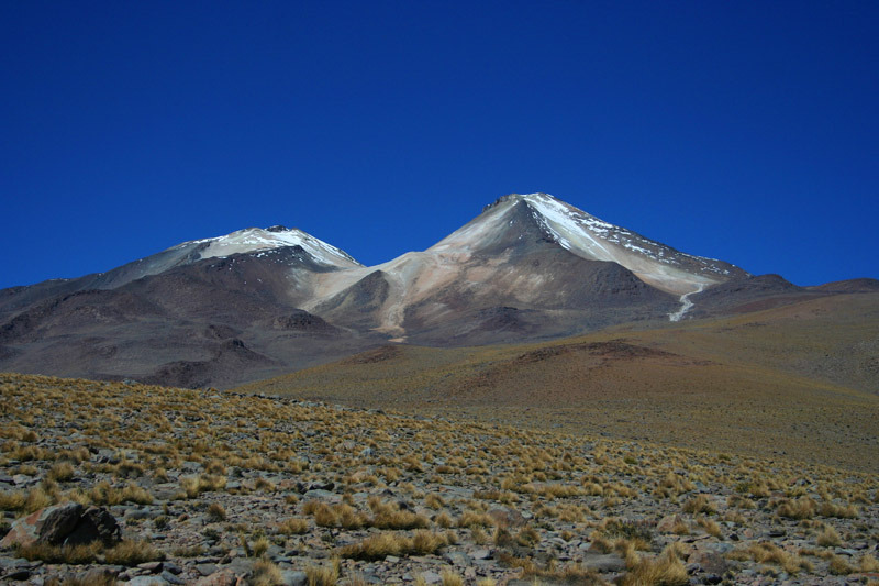
In the second day start early to the volcano! We needed a local guide to find the correct road. Ice stopped the car at approximately 5300m, then we had to walk up the road until 5750m.
Here the steeper part begins but all is still very easy! Only the high altitude and the bitter cold made problems.
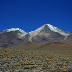
When we have been there, there was nearly no snow or ice.
In the afternoon started a very strong storm, which made it sometimes impossible to go down. When we heard the stones are coming flying, we had to lay down on the ground or hide behind a larger rock.
If you are lucky, you can drive on a very bad road up to 5750m (4-wheel-drive only), we needed 7 hours for the complete tour. Use walking shoes and sticks, very good gloves (I had one frozen finger), a warm hat and a good down jacket, we did not need crampons (but these can be necessary if there is more snow and ice in the steep part).
2010-11-06 |
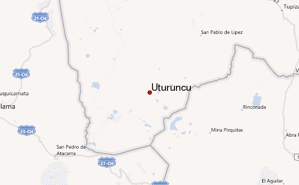
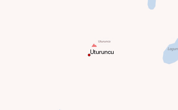
 Uturuncu – Climbing, Hiking & Mountaineering information