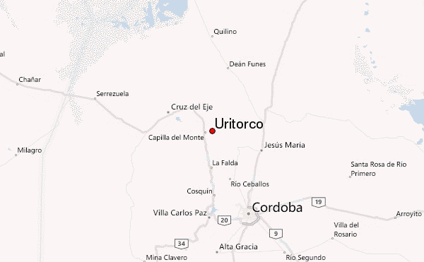
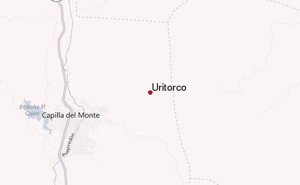
– Lat/Long: 30.84° S 64.48° W
 Uritorco – Climbing, Hiking & Mountaineering information

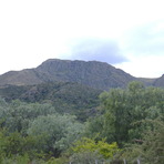
Uritorco Guide
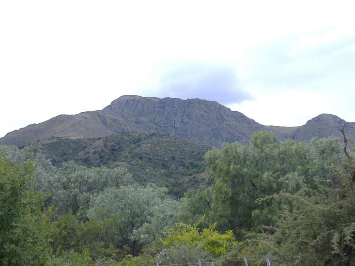
- Elevation: 1949
- Difficulty: -
- Best months to climb: -
- Convenient center: -
Uritorco climbers NotesBe the first to submit your climbers note! Please submit any useful information about climbing Uritorco that may be useful to other climbers. Consider things such as access and accommodation at the base of Uritorco, as well as the logistics of climbing to the summit. |
| Select a
mountain summit from the menu |
||
|
Select a Mountain Summit
|
||
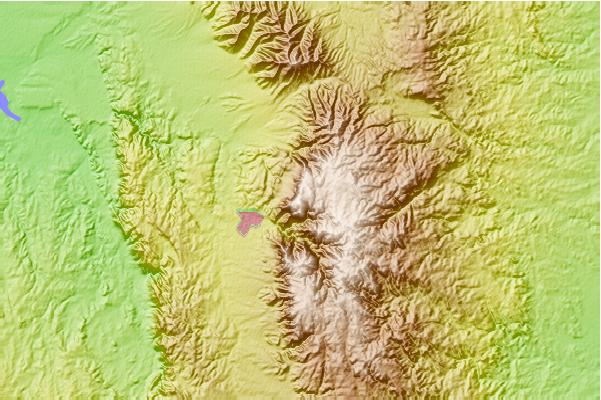
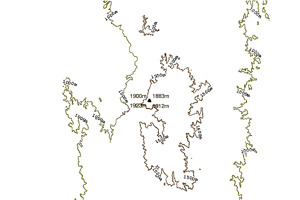
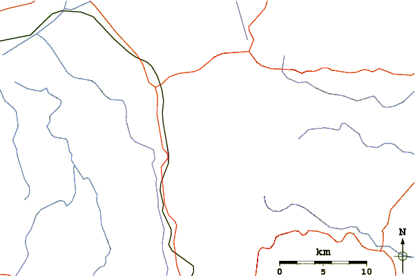
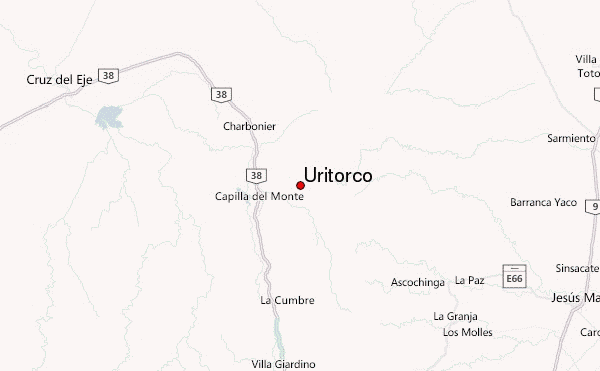
Use this relief map to navigate to mountain peaks in the area of Uritorco.
10 other mountain peaks closest to Uritorco:
| 1. | Mount Champaquí (2790 m) | 134.0 km |
| 2. | El Mela (4150 m) | 337.5 km |
| 3. | Nevados De Famatina (6250 m) | 380.0 km |
| 4. | Cerro Belgrano (1905 m) | 380.0 km |
| 5. | Sierra De Famatina (6250 m) | 380.0 km |
| 6. | El Clavillo (5500 m) | 416.2 km |
| 7. | Cerro del Bolsón (5552 m) | 433.6 km |
| 8. | Bike Park Senderos Del Dique Frias (3220 m) | 475.5 km |
| 9. | Cordillera De Colanguill (6122 m) | 500.9 km |
| 10. | Cumbre de la Majadita (6280 m) | 510.2 km |