jlgonzalez from ARGENTINA writes:
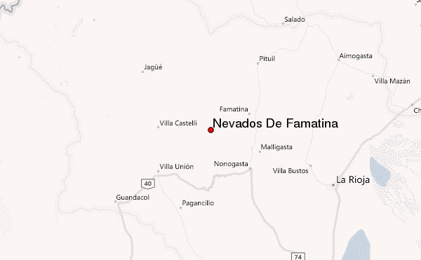
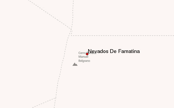
Famatina, Cerro General Belgrano, demanda una exigente conducción manejo 4x4. La aproximación por el refugio Cueva de Pérez se llega luego de una travesía de varios cruces de ríos, donde es conveniente consultar previamente en el pueblo el estado del camino y de los ríos. Desde la cueva de Pérez se puede hacer una aproximación progresiva, visitar las estaciones 8, 9 del cable carril y finalmente un campo alto en el Campamento Lagunita. En el mismo rara vez se encuentra agua así que habrá que portearla. O lo más habitual en estos tiempos es trasladarse hasta el pie del ascenso donde las 4x4 ya no pueden seguir a la altura de 4900 msnm. Desde allí aproximadamente 40/60 m se llega a la lagunita. Muchos intentan cumbre, en una sola jornada desde Cueva de Pérez (fue nuestro caso). El día de cumbre es largo, y requiere un cruce glaciar que dada la época estival del año es posible bordear generando un desvío de aproximadamente 2hs. Luego ya la pendiente cobra más fuerza, pero el terreno es más estable y las vistas maravillosas. Consejos, utilizar siempre previsión meteorológica porque la zona es demasiado cambiante y suele despertarse vientos muy fuertes pasada la tarde. En nuestro fue de gran ayuda la previsión hora a hora de mountain-forecast para un correcto plan de día de cumbre.
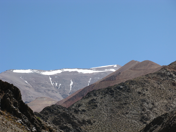
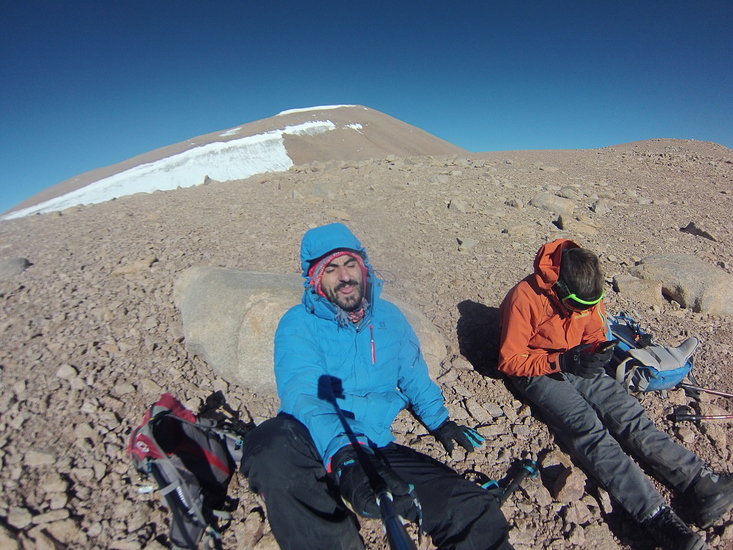
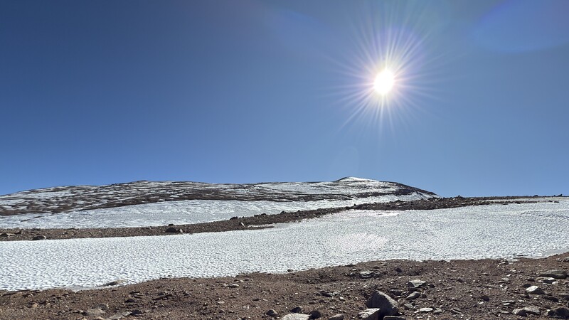
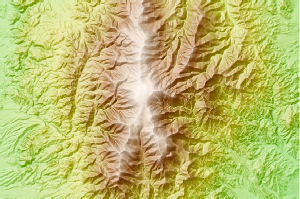
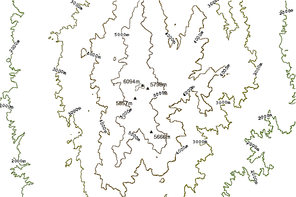
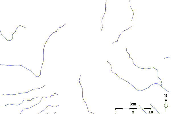
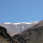
Famatina, Cerro General Belgrano, demands challenging 4x4 driving skills. The approach via the Cueva de Pérez refuge involves several river crossings, so it's advisable to check road and river conditions beforehand in the town. From Cueva de Pérez, you can make a gradual approach, visiting stations 8 and 9 of the cable car and finally reaching a high camp at Lagunita Camp. Water is rarely found there, so you'll need to carry it. Alternatively, the more common option these days is to drive to the base of the ascent, where 4x4 vehicles can no longer proceed at an altitude of 4900 meters above sea level. From there, it's approximately 40-60 meters to Lagunita. Many attempt the summit in a single day from Cueva de Pérez (as we did). Summit day is long and requires a glacier crossing, which, given the summer season, can be bypassed, creating a detour of approximately 2 hours. The slope then becomes steeper, but the terrain is more stable and the views are wonderful. A word of advice: always check the weather forecast because the area is very changeable and strong winds often pick up in the late afternoon. The hourly forecast from mountain-forecast was a great help in our summit day planning.
2026-03-05 |
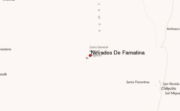
 Nevados De Famatina – Climbing, Hiking & Mountaineering information