– Lat/Long: 45.47° N 7.03° E
 Tsanteleina – Climbing, Hiking & Mountaineering information

Tsanteleina Guide
- Elevation: 3602
- Difficulty: Basic Snow and Ice Climb
- Best months to climb: June, July, August
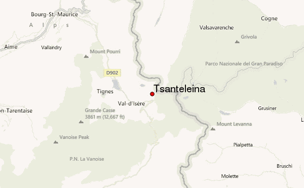
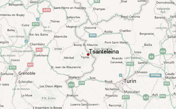
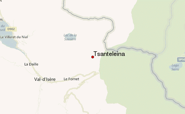
- Convenient center: Tignes - Val d'Isère
Tsanteleina climbers NotesBe the first to submit your climbers note! Please submit any useful information about climbing Tsanteleina that may be useful to other climbers. Consider things such as access and accommodation at the base of Tsanteleina, as well as the logistics of climbing to the summit. |
| Select a
mountain summit from the menu |
||
|
Select a Mountain Summit
|
||
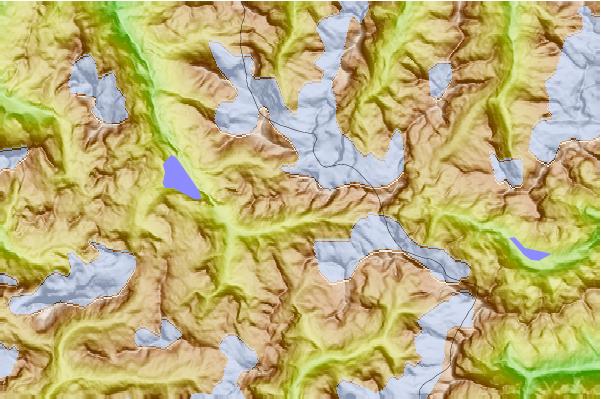
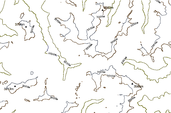
Use this relief map to navigate to mountain peaks in the area of Tsanteleina.
10 other mountain peaks closest to Tsanteleina:
| 1. | Refuge du Prariond (2324 m) | 3.2 km |
| 2. | Aiguille de La Grande Sassière (3747 m) | 5.0 km |
| 3. | Rifugio Pian Della Ballotta (2470 m) | 6.5 km |
| 4. | Rifugio Gian Federico Benevolo (2285 m) | 6.7 km |
| 5. | Bike Park Tignes - Val d'Isère (2727 m) | 8.0 km |
| 6. | Refuge du Fond des Fours (2537 m) | 8.0 km |
| 7. | Rifugio Mario Bezzi (2284 m) | 8.3 km |
| 8. | Refuge du Carro (2760 m) | 8.4 km |
| 9. | Roche Melon (3538 m) | 11.0 km |
| 10. | Uja di Ciamarella (3676 m) | 11.0 km |