Tonelagee Guide
- Elevation: 817
- Difficulty: -
- Best months to climb: -
- Convenient center: -
Tonelagee climbers Notes
Michael Jordan from IRELAND writes:
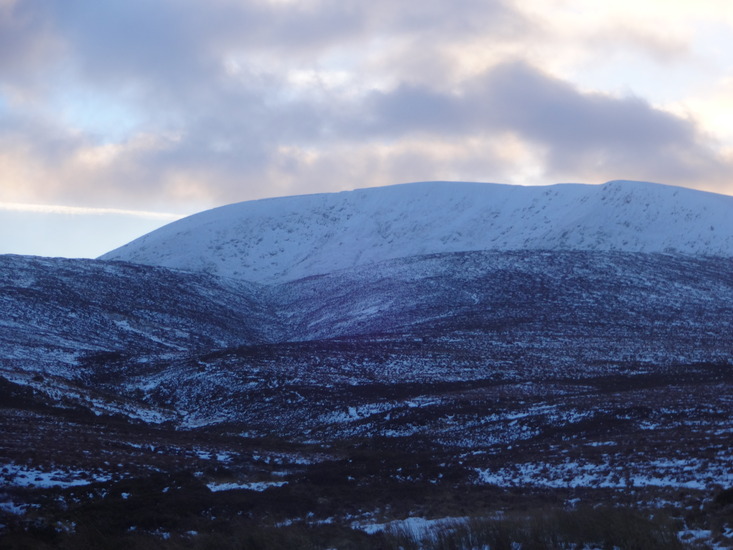
1/05/2010. I led a group of 5 on a circuit of Tonelagee, Brocagh, Camaderry and back via Turlough Hill. Total distance 22k, total height climbed 920 meters approx. Time: 6 hours 20 minutes including 30 minutes for lunch. Start at Wicklow Gap carpark N53 02.495 W6 23.785 and head straight up Tonelagee bearing 30 degrees. From there head 135 approx to Brocagh at N53 01.848 W6 20.896. From there head 230 to road - ruined house good lunch stop. From there head 220 to spur SE of Camaderry at N53 00.964 W6 22.561 (those of a more energetic dispostion can cut up the steeper route heading 240). Turn right heading 310 for Camaderry - the Turlough Hill Reservoir which looms behind it is a bit of a blot on an otherwise splendid landscape but is however a handy marker. Keep the same bearing alt the way to Turlough Hill and follow the patch back down to the carpark. The majesty of Tonelagee is even more apparent on the way down
2010-05-04 |
Click here to submit your own climbing note for Tonelagee
|
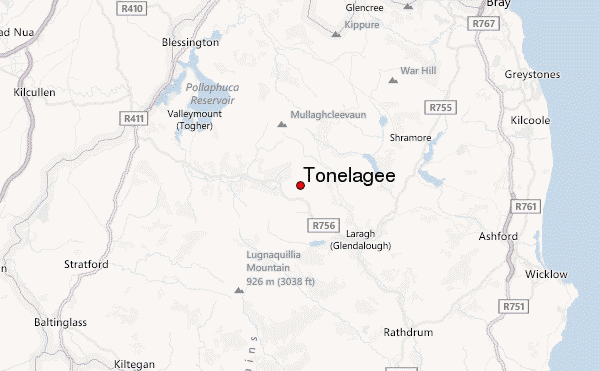
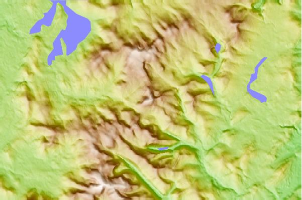
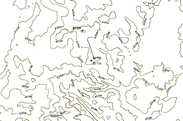
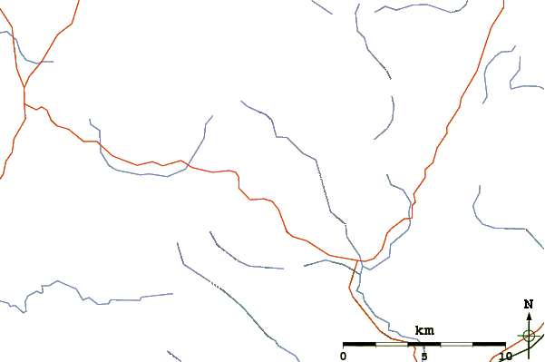
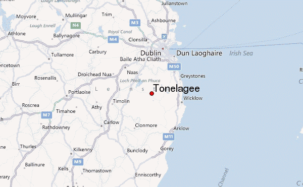
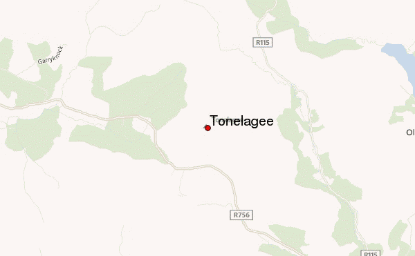
Select Tonelagee Location Map Detail:
Use this relief map to navigate to mountain peaks in the area of Tonelagee.
10 other mountain peaks closest to Tonelagee:
 Tonelagee – Climbing, Hiking & Mountaineering information
