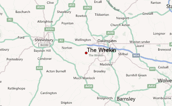
The Wrekin Guide
- Elevation: 407
- Difficulty: -
- Best months to climb: -
- Convenient center: -
The Wrekin climbers Notes
Ryk lewandowski from UNITED KINGDOM writes:
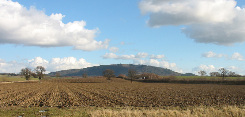
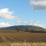
Easy access. Car park and roadside parking at base. Busy evenings and weekends. Wide track from roadside to summit. 25-45 mins to summit for fit walker. 360 degree views on good days to South Shropshire, Berwyns to the NW, Cheshire gap to the N. and the Black Country to the east.
1.5 miles to summit. Many other tracks up and around the base to make a good mornings or afternoons walk. No need for specialist equipment.
2017-06-05 |
Click here to submit your own climbing note for The Wrekin
|
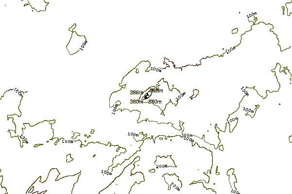
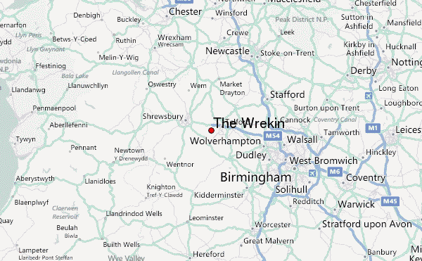
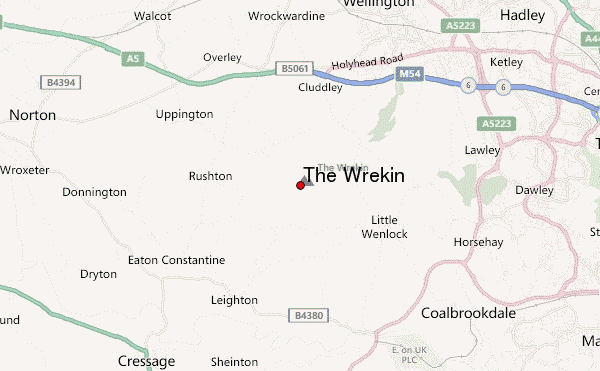
Select The Wrekin Location Map Detail:
Use this relief map to navigate to mountain peaks in the area of The Wrekin.
10 other mountain peaks closest to The Wrekin:
 The Wrekin – Climbing, Hiking & Mountaineering information
