– Lat/Long: 52.55° N 2.77° W
 Caer Caradoc – Climbing, Hiking & Mountaineering information

Caer Caradoc Guide
- Elevation: 459
- Difficulty: -
- Best months to climb: -
- Convenient center: -
Caer Caradoc climbers NotesBe the first to submit your climbers note! Please submit any useful information about climbing Caer Caradoc that may be useful to other climbers. Consider things such as access and accommodation at the base of Caer Caradoc, as well as the logistics of climbing to the summit. |
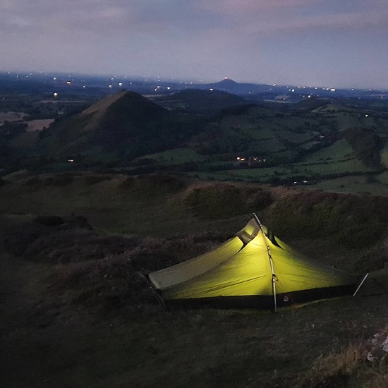
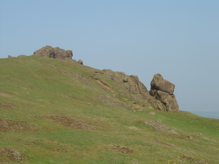
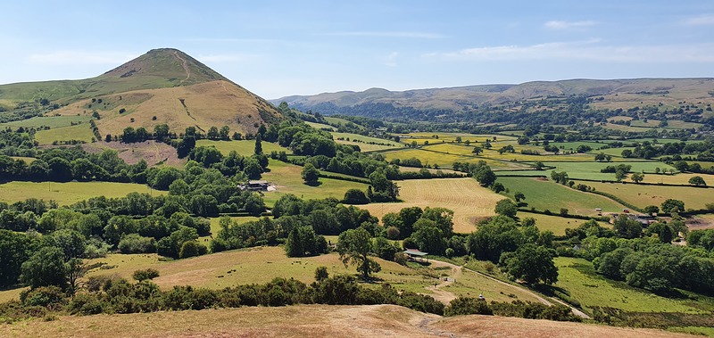
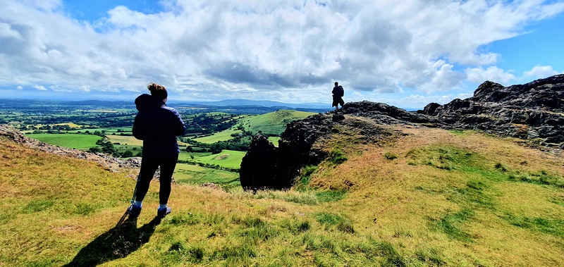
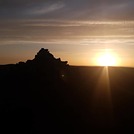
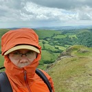
Latest Gallery Images for Caer Caradoc

| Select a
mountain summit from the menu |
||
|
Select a Mountain Summit
|
||
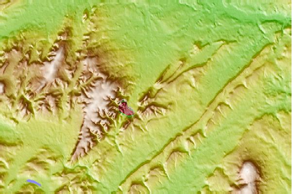
Use this relief map to navigate to mountain peaks in the area of Caer Caradoc.
10 other mountain peaks closest to Caer Caradoc:
| 1. | Callow Hill, Shropshire (335 m) | 10.4 km |
| 2. | Stiperstones (Manstone Rock) (536 m) | 11.4 km |
| 3. | Heath Mynd (452 m) | 14.2 km |
| 4. | Brown Clee Hill (540 m) | 14.5 km |
| 5. | Burrow (Shropshire) (358 m) | 15.6 km |
| 6. | Corndon Hill (513 m) | 17.1 km |
| 7. | Haughmond Hill (153 m) | 19.2 km |
| 8. | The Wrekin (407 m) | 19.7 km |
| 9. | Titterstone Clee Hill (533 m) | 20.7 km |
| 10. | The Ercall (140 m) | 21.9 km |
