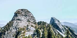
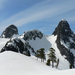
The Lions (peaks) Guide
- Elevation: 1654
- Difficulty: -
- Best months to climb: -
- Convenient center: -
The Lions (peaks) climbers Notes
Seth from CANADA writes:
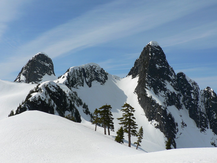
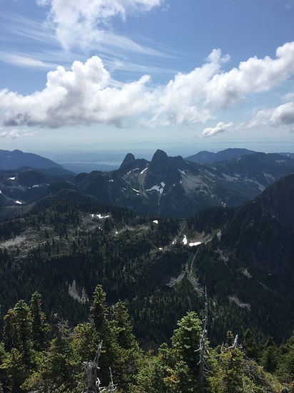
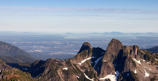
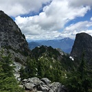
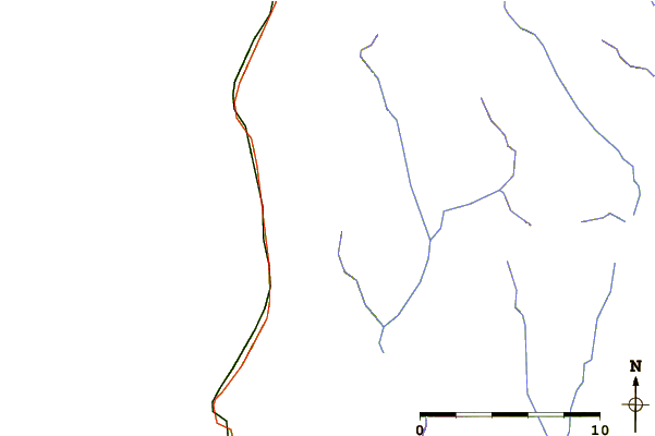
To get to the Lions, drive along British Columbia Highway 99 to Lions Bay and reach Sunset Drive trailhead. Get there early as parking is limited. From there it's an 3-5 hour hike to the top. The last water refill point is Harvey Creek. Hike is about 7.5km each way. Reaching the summit from the saddle requires class 4 scrambling and is not recommended for inexperienced hikers. Bring food, water, first aid supplies and bear spray as there are bears sometimes in the area. The trail follows the logging road for 2km, then splits into 2 trails, turn right and keep going down the narrower logging road, 3.5km in there is a trail branching left, keep straight. You will reach a sign saying Lions trail turn right or Harvey Basin go straight. DO NOT go straight and turn right from there. The trail narrows and goes downhill for a bit before crossing a bridge and steeply ascending upwards. You will climb steeply through the forest into the alpine, go up the boulder field and follow markers spray-painted onto rocks and up a couloir to the ridge. From there, turn left onto the Howe Sound Crest Trail and you will arrive at the summit soon after. On the way back check your map as the junction of the Lions trail and Howe Sound Crest Trail is no longer clearly marked. There used to be a sign there that has since fallen over. Go during mid July to early October, or else there's snow.
2023-10-07 |
Click here to submit your own climbing note for The Lions (peaks)
|
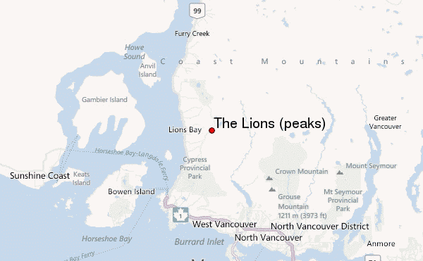
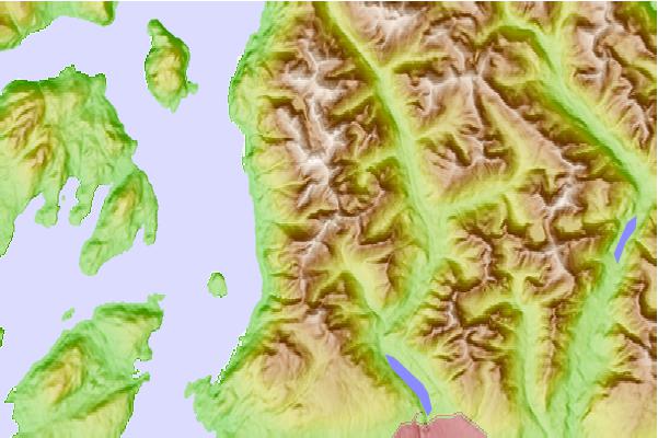
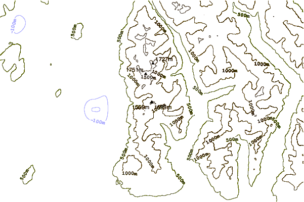
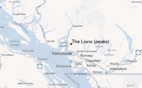
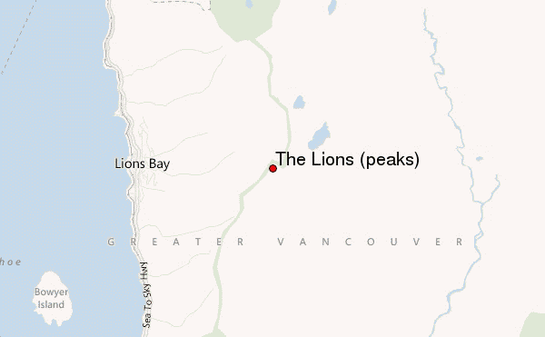
Select The Lions (peaks) Location Map Detail:
Use this relief map to navigate to mountain peaks in the area of The Lions (peaks).
10 other mountain peaks closest to The Lions (peaks):
 The Lions (peaks) – Climbing, Hiking & Mountaineering information


