– Lat/Long: 53.89° N 1.69° W
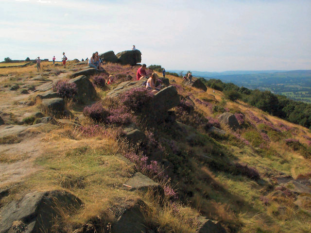
 The Chevin
Weather Forecast, United KingdomIssued: 12 pm Mon 03 Aug Local TimeUpdates in: hr min sUpdate imminent
Issued: 12 pm Mon 03 Aug Local Time
Updates in:
Update imminent hr min s

Issued: 12 pm Mon 03 Aug Local Time
Updates in:
Update imminent hr min s
Days 1–3 Weather SummaryLight rain (total 2mm), mostly falling on Tue afternoon. Warm (max 24°C on Mon afternoon, min 12°C on Wed night). Winds increasing (calm on Mon night, strong winds from the WSW by Wed afternoon). | Days 4–6 Weather SummaryMostly dry. Very mild (max 19°C on Fri afternoon, min 11°C on Thu night). Wind will be generally light. | |||||||||||||||||
Monday 3 | Tuesday 4 | Wednesday 5 | Thursday 6 | Friday 7 | Saturday 8 | |||||||||||||
AM | PM | night | AM | PM | night | AM | PM | night | AM | PM | night | AM | PM | night | AM | PM | night | |
some clouds | cloudy | light rain | rain shwrs | risk tstorm | rain shwrs | rain shwrs | rain shwrs | rain shwrs | light rain | rain shwrs | clear | some clouds | cloudy | some clouds | cloudy | some clouds | some clouds | |
Cloud base (m) | 4150 | 2350 | 750 | 200 | 1700 | 6300 | 350 | 500 | 250 | 800 | 450 | 8500 | 2050 | 6650 | 2450 | 2850 | 2100 | |
km/h | ||||||||||||||||||
 |  |  |  |  |  | |||||||||||||
— | — | — | — | — | — | — | — | — | — | — | — | — | — | — | — | — | — | |
mm | — | — | 0.2 | 0.1 | 0.4 | 0.4 | 0.2 | 0.3 | 0.5 | 0.1 | 0.5 | — | — | — | — | — | — | — |
max °C | 22 | 24 | 17 | 24 | 23 | 17 | 15 | 15 | 13 | 14 | 15 | 12 | 18 | 19 | 14 | 19 | 18 | 15 |
min °C | 18 | 21 | 15 | 19 | 22 | 14 | 15 | 14 | 12 | 13 | 15 | 11 | 15 | 17 | 12 | 16 | 17 | 14 |
chill °C | 18 | 21 | 14 | 19 | 22 | 12 | 13 | 11 | 9 | 11 | 14 | 9 | 14 | 16 | 11 | 15 | 16 | 13 |
Freezing level m | 3300 | 3400 | 3600 | 3600 | 3500 | 3550 | 3100 | 2800 | 2850 | 2400 | 2350 | 2800 | 2700 | 2750 | 2750 | 3050 | 3450 | 3450 |
5:22 | — | — | 5:24 | — | — | 5:26 | — | — | 5:28 | — | — | 5:28 | — | — | 5:31 | — | — | |
— | 9:00 | — | — | 9:00 | — | — | 8:58 | — | — | 8:55 | — | — | 8:53 | — | — | 8:52 | — | |
Loading...
The Chevin Weather (Days 0-3):
The weather forecast for The Chevin is: Light rain (total 2mm), mostly falling on Tue afternoon. Warm (max 24°C on Mon afternoon, min 12°C on Wed night). Winds increasing (calm on Mon night, strong winds from the WSW by Wed afternoon).
The Chevin Weather (Days 3-6):
Mostly dry. Very mild (max 19°C on Fri afternoon, min 11°C on Thu night). Wind will be generally light.
This table gives the weather forecast for The Chevin at the specific elevation of 282 m. Our advanced weather models allow us to provide distinct weather forecasts for several elevations of The Chevin. To see the weather forecasts for the other elevations, use the tab navigation above the table. For a wider overview of the weather, consult the Weather Map of United Kingdom.
| Weather Station | Temp. | Weather | Wind | Gusts | Cloud / Visibility |
|---|---|---|---|---|---|
Leeds And Bradford Airport | |||||
YDSC | |||||
Shack int Dales | |||||
Topcliffe RAF Airport | |||||
Leeming RAF Airport | |||||
Wether Fell | |||||
Humberside International Airport | |||||
Tees-side Airport | |||||
Manchester International Airport |
* NOTE: not all weather observatories update at the same frequency which is the reason why some locations may show data from stations that are further away than known closer ones.