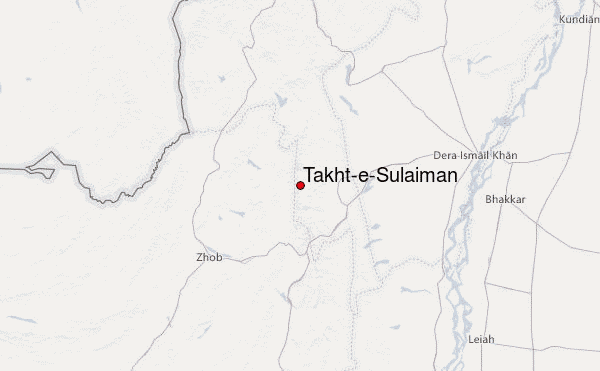
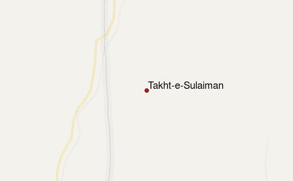
– Lat/Long: 31.68° N 69.94° E
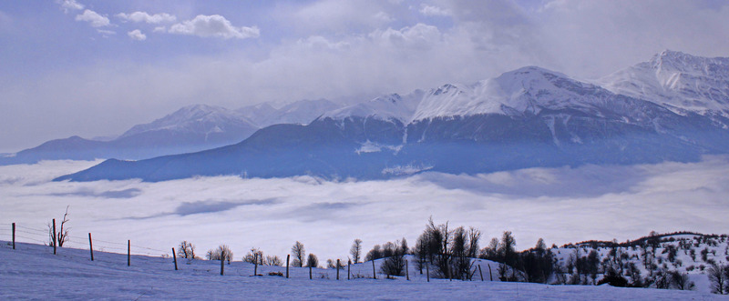
 Takht-e-Sulaiman – Climbing, Hiking & Mountaineering information

Takht-e-Sulaiman Guide
- Elevation: 3487
- Difficulty: -
- Best months to climb: -
- Convenient center: -
Takht-e-Sulaiman climbers NotesBe the first to submit your climbers note! Please submit any useful information about climbing Takht-e-Sulaiman that may be useful to other climbers. Consider things such as access and accommodation at the base of Takht-e-Sulaiman, as well as the logistics of climbing to the summit. |
| Select a
mountain summit from the menu |
||
|
Select a Mountain Summit
|
||
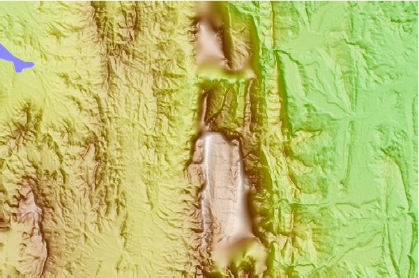
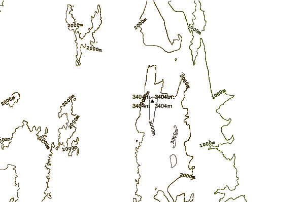
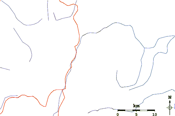
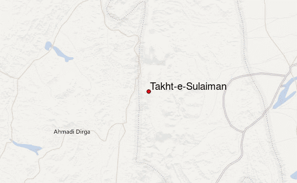
Use this relief map to navigate to mountain peaks in the area of Takht-e-Sulaiman.
10 other mountain peaks closest to Takht-e-Sulaiman:
| 1. | Mizri Ghar (3111 m) | 39.0 km |
| 2. | Takur Ghar (3191 m) | 196.6 km |
| 3. | Skesar or Sakesar (1522 m) | 211.3 km |
| 4. | Koh-i-Takatu (3472 m) | 226.6 km |
| 5. | Zarghun Ghar (3578 m) | 268.3 km |
| 6. | Tor Zawar (2300 m) | 270.1 km |
| 7. | Koh-i-Murdaar (3184 m) | 282.6 km |
| 8. | Giandari (1250 m) | 288.6 km |
| 9. | Koh-i-Chiltan (3194 m) | 308.1 km |
| 10. | Dacht-i-navar Group (3800 m) | 315.0 km |