– Lat/Long: 30.93° N 66.82° E
 Koh-i-Chiltan – Climbing, Hiking & Mountaineering information

Koh-i-Chiltan Guide
- Elevation: 3194
- Difficulty: -
- Best months to climb: -
- Convenient center: -
Koh-i-Chiltan climbers Notes
Click here to submit your own climbing note for Koh-i-Chiltan |
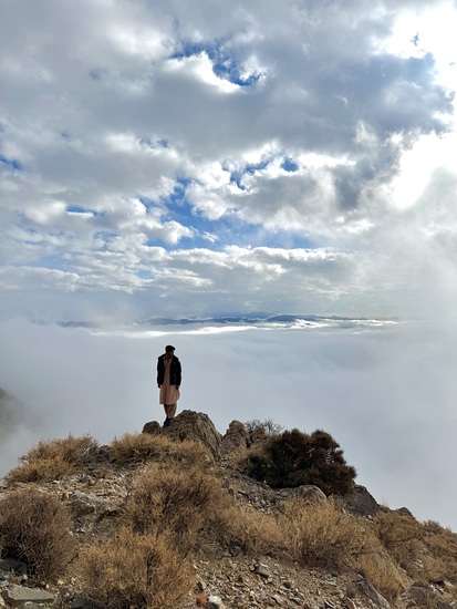
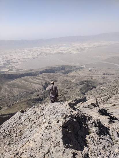
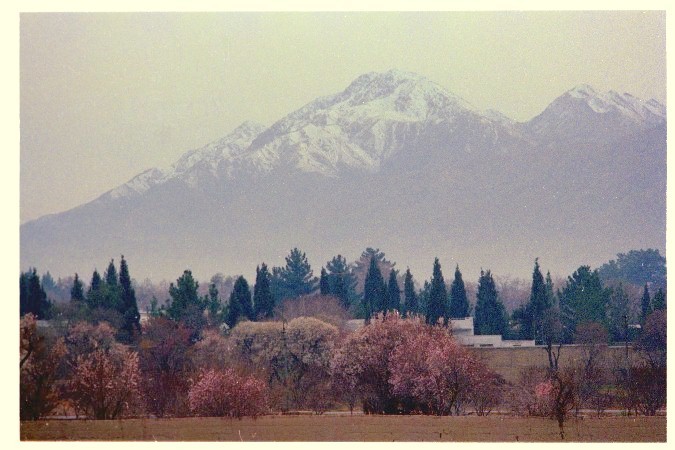
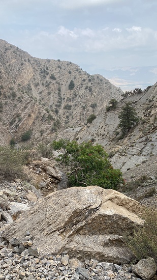
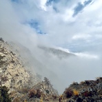
Latest Gallery Images for Koh-i-Chiltan


| Select a
mountain summit from the menu |
||
|
Select a Mountain Summit
|
||
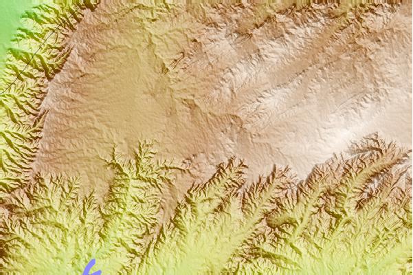
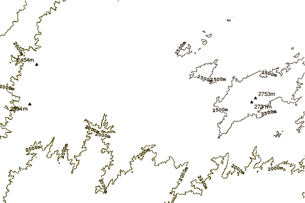
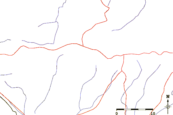
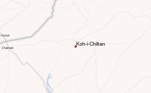
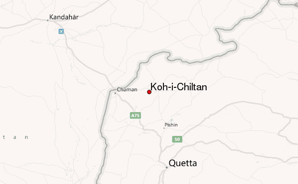
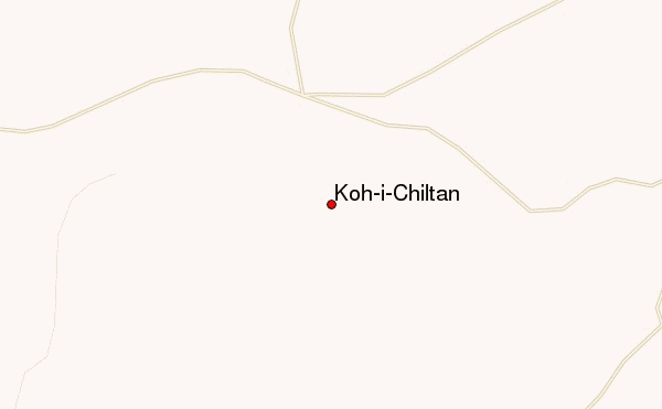
Use this relief map to navigate to mountain peaks in the area of Koh-i-Chiltan.
10 other mountain peaks closest to Koh-i-Chiltan:
| 1. | Koh-i-Murdaar (3184 m) | 38.2 km |
| 2. | Tor Zawar (2300 m) | 80.7 km |
| 3. | Koh-i-Takatu (3472 m) | 95.4 km |
| 4. | Zarghun Ghar (3578 m) | 130.9 km |
| 5. | Takht-e-Sulaiman (3487 m) | 308.1 km |
| 6. | Mizri Ghar (3111 m) | 309.3 km |
| 7. | Giandari (1250 m) | 346.3 km |
| 8. | Takur Ghar (3191 m) | 350.5 km |
| 9. | Dacht-i-navar Group (3800 m) | 351.4 km |
| 10. | Vakak Group (3190 m) | 384.7 km |