– Lat/Long: 37.92° N 107.42° W
 Sunshine Peak – Climbing, Hiking & Mountaineering information

Sunshine Peak Guide
- Elevation: 4268
- Difficulty: Walk up
- Best months to climb: -
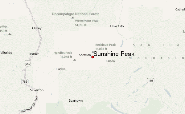
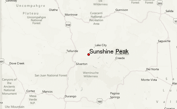
- Convenient center: Lake City
Sunshine Peak climbers NotesBe the first to submit your climbers note! Please submit any useful information about climbing Sunshine Peak that may be useful to other climbers. Consider things such as access and accommodation at the base of Sunshine Peak, as well as the logistics of climbing to the summit. |
| Select a
mountain summit from the menu |
||
|
Select a Mountain Summit
|
||
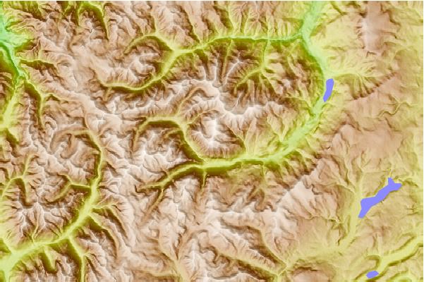
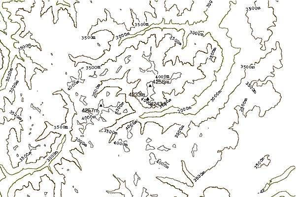
Use this relief map to navigate to mountain peaks in the area of Sunshine Peak.
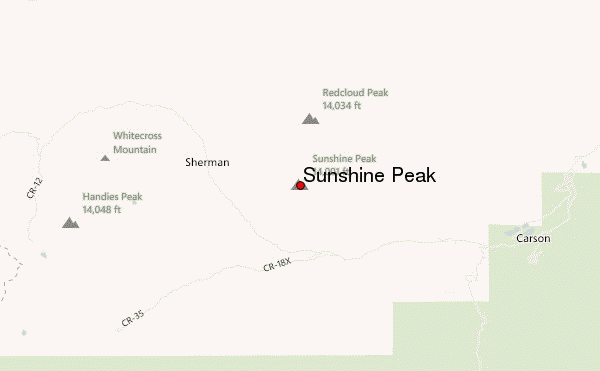
10 other mountain peaks closest to Sunshine Peak:
| 1. | Redcloud Peak (4278 m) | 2.0 km |
| 2. | Handies Peak (4282 m) | 7.0 km |
| 3. | Fawn Lakes Yurt (3682 m) | 12.1 km |
| 4. | Bonnie Belle Cabin (3657 m) | 12.5 km |
| 5. | Jon Wilson Yurt (3201 m) | 14.4 km |
| 6. | Uncompahgre Peak (4361 m) | 16.9 km |
| 7. | Matterhorn Peak (Colorado) (4142 m) | 17.0 km |
| 8. | Wetterhorn Peak (4272 m) | 17.1 km |
| 9. | King Solomon Mtn (4030 m) | 19.5 km |
| 10. | Little Giant Peak (4089 m) | 20.7 km |