– Lat/Long: 39.38° N 119.72° W
 Steamboat Springs – Climbing, Hiking & Mountaineering information

Steamboat Springs Guide
- Elevation: 1415
- Difficulty: -
- Best months to climb: May, June, July, August, September
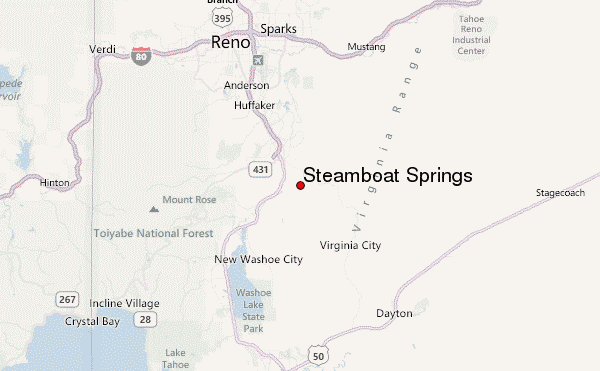
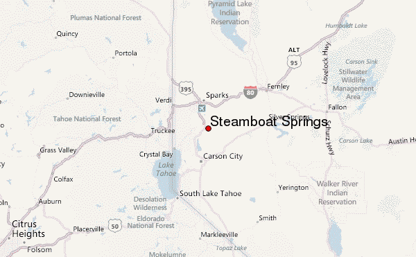
- Convenient center: Incline Village, Nevada
Steamboat Springs climbers NotesBe the first to submit your climbers note! Please submit any useful information about climbing Steamboat Springs that may be useful to other climbers. Consider things such as access and accommodation at the base of Steamboat Springs, as well as the logistics of climbing to the summit. |
| Select a
mountain summit from the menu |
||
|
Select a Mountain Summit
|
||
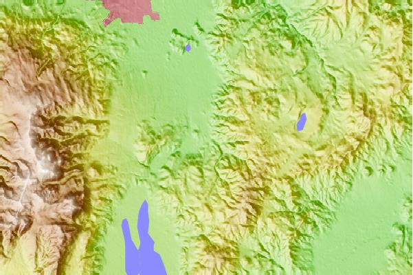
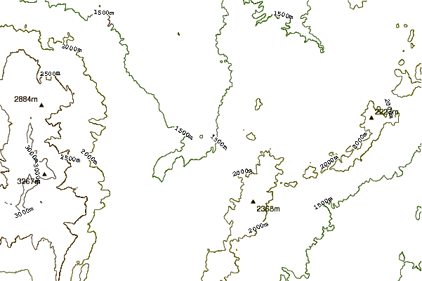
Use this relief map to navigate to mountain peaks in the area of Steamboat Springs.
10 other mountain peaks closest to Steamboat Springs:
| 1. | Steamboat Springs, Nevada (1415 m) | 0.0 km |
| 2. | Mount Davidson (Nevada) (2397 m) | 8.9 km |
| 3. | Mt. Rose Ski Tahoe (2956 m) | 15.7 km |
| 4. | Mount Rose (3285 m) | 17.3 km |
| 5. | Diamond Peak Ski Resort (2603 m) | 22.2 km |
| 6. | Mount Baldy (Nevada) (2826 m) | 26.4 km |
| 7. | Snow Valley Peak (2808 m) | 28.3 km |
| 8. | Peavine Peak (2520 m) | 29.8 km |
| 9. | Wildcat Cabin (2290 m) | 32.4 km |
| 10. | Spooner Summit Lake Cabin (2125 m) | 33.7 km |