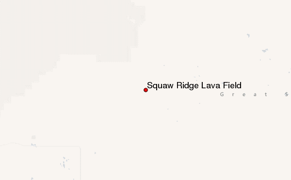
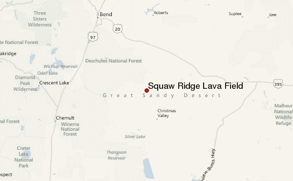
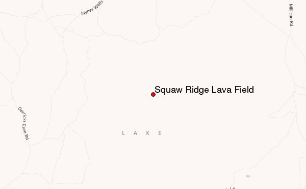
– Lat/Long: 43.47° N 120.75° W
 Squaw Ridge Lava Field – Climbing, Hiking & Mountaineering information

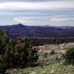
Squaw Ridge Lava Field Guide
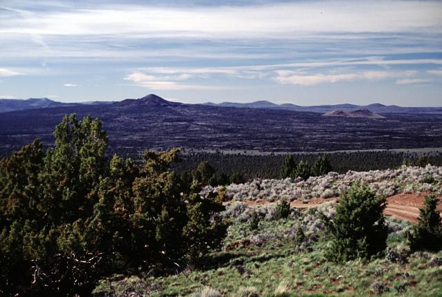
- Elevation: 1711
- Difficulty: -
- Best months to climb: -
- Convenient center: -
Squaw Ridge Lava Field climbers NotesBe the first to submit your climbers note! Please submit any useful information about climbing Squaw Ridge Lava Field that may be useful to other climbers. Consider things such as access and accommodation at the base of Squaw Ridge Lava Field, as well as the logistics of climbing to the summit. |
| Select a
mountain summit from the menu |
||
|
Select a Mountain Summit
|
||
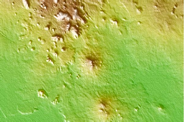
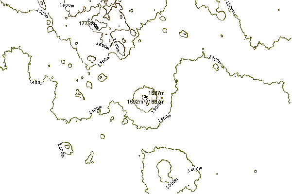
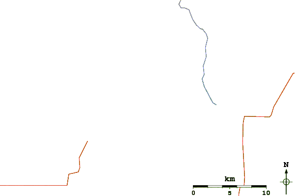
Use this relief map to navigate to mountain peaks in the area of Squaw Ridge Lava Field.
10 other mountain peaks closest to Squaw Ridge Lava Field:
| 1. | Devils Garden (1698 m) | 9.7 km |
| 2. | Four Craters Lava Field (1501 m) | 14.1 km |
| 3. | Fort Rock Basin (1716 m) | 27.6 km |
| 4. | Fort Rock (1432 m) | 28.2 km |
| 5. | China Hat (2003 m) | 32.4 km |
| 6. | Hole-in-the-Ground (1417 m) | 36.7 km |
| 7. | Big Hole (Oregon) (1448 m) | 45.5 km |
| 8. | Newberry Volcano (2434 m) | 47.7 km |
| 9. | Bald Mountain (Oregon) (2253 m) | 53.3 km |
| 10. | Lava Butte (1530 m) | 69.4 km |