South Arapaho Peak Guide
- Elevation: 4083
- Difficulty: Walk up
- Best months to climb: -
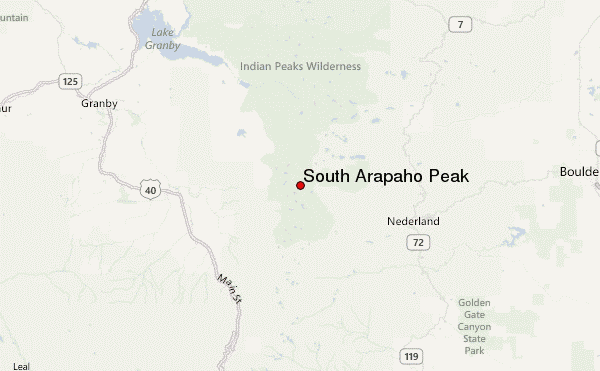
- Convenient center: Nederland
South Arapaho Peak climbers Notes
Howard C Hill from UNITED STATES writes:
Climbed it on 2nd Jily. A little snowy at 4th of July Mine and the marshy area juts past it but follow the boot tracks and you'll be fine. Past that, smooth sailing. A few snow field crossings buy avoidable if you're postholing too much. Glorious conditions.
2019-07-04 |
Click here to submit your own climbing note for South Arapaho Peak
|
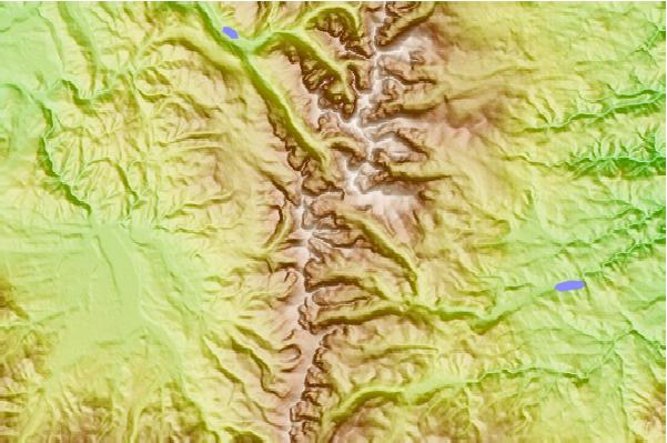
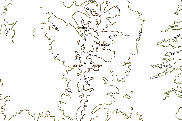
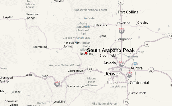
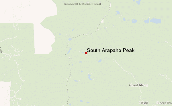
Select South Arapaho Peak Location Map Detail:
Use this relief map to navigate to mountain peaks in the area of South Arapaho Peak.
10 other mountain peaks closest to South Arapaho Peak:
 South Arapaho Peak – Climbing, Hiking & Mountaineering information