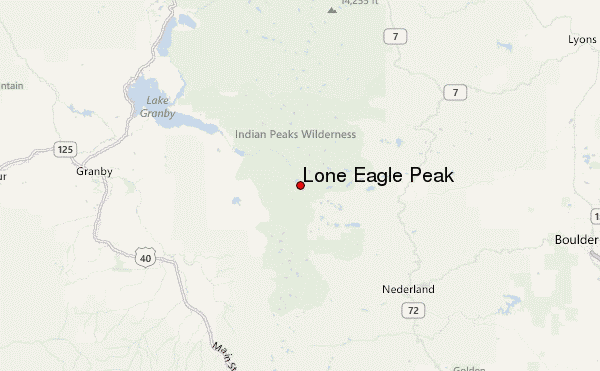
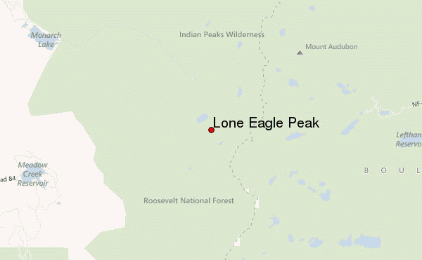
– Lat/Long: 40.07° N 105.66° W
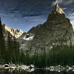
 Lone Eagle Peak – Climbing, Hiking & Mountaineering information

Lone Eagle Peak Guide
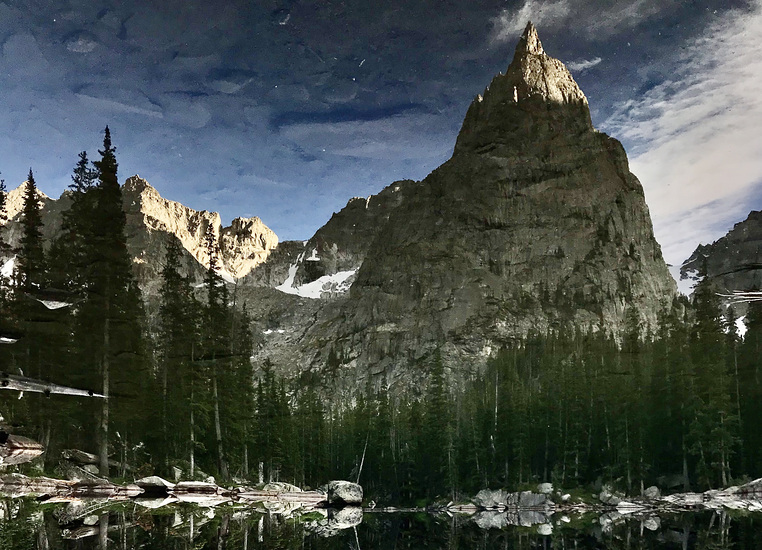
- Elevation: 3633
- Difficulty: Technical Climb
- Best months to climb: July, August, September
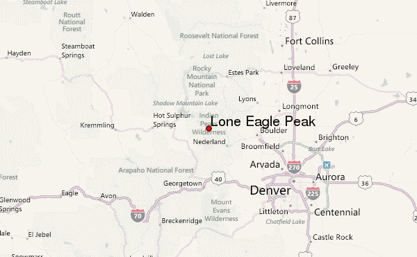
- Convenient center: Nederland
Lone Eagle Peak climbers NotesBe the first to submit your climbers note! Please submit any useful information about climbing Lone Eagle Peak that may be useful to other climbers. Consider things such as access and accommodation at the base of Lone Eagle Peak, as well as the logistics of climbing to the summit. |
| Select a
mountain summit from the menu |
||
|
Select a Mountain Summit
|
||
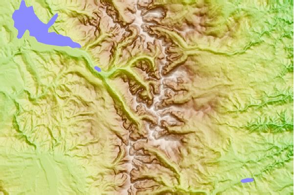
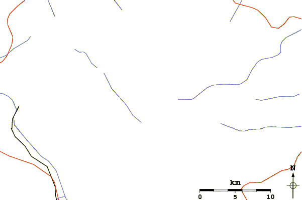
Use this relief map to navigate to mountain peaks in the area of Lone Eagle Peak.
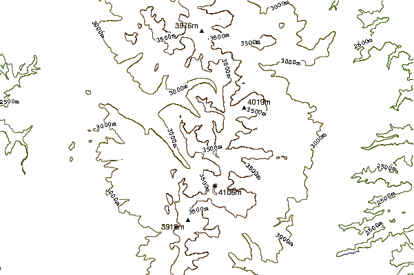
10 other mountain peaks closest to Lone Eagle Peak:
| 1. | Mount Toll (3956 m) | 3.0 km |
| 2. | North Arapahoe Peak (3962 m) | 4.3 km |
| 3. | Mount Audubon (4135 m) | 4.8 km |
| 4. | North Arapaho Peak (4115 m) | 5.0 km |
| 5. | Brainard Cabin (3170 m) | 7.0 km |
| 6. | South Arapaho Peak (4083 m) | 8.0 km |
| 7. | High Lonesome Hut (2835 m) | 12.7 km |
| 8. | Arestua Hut (Guinn Mountain Hut) (3389 m) | 14.7 km |
| 9. | Mount Alice (Colorado) (4057 m) | 18.7 km |
| 10. | Mount Meeker (4240 m) | 20.3 km |