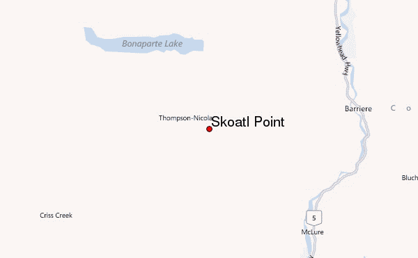
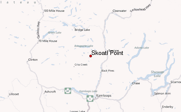
– Lat/Long: 51.15° N 120.43° W
 Skoatl Point – Climbing, Hiking & Mountaineering information

Skoatl Point Guide
- Elevation: 1640
- Difficulty: -
- Best months to climb: -
- Convenient center: -
Skoatl Point climbers NotesBe the first to submit your climbers note! Please submit any useful information about climbing Skoatl Point that may be useful to other climbers. Consider things such as access and accommodation at the base of Skoatl Point, as well as the logistics of climbing to the summit. |
| Select a
mountain summit from the menu |
||
|
Select a Mountain Summit
|
||
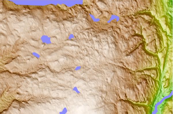
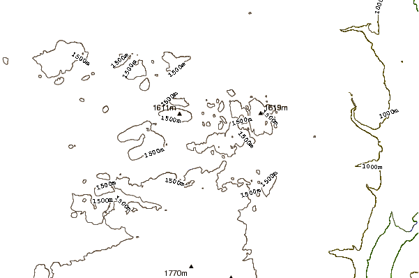
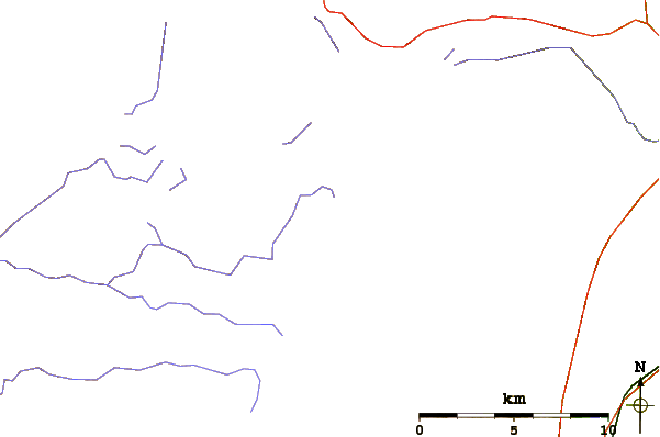
Use this relief map to navigate to mountain peaks in the area of Skoatl Point.
10 other mountain peaks closest to Skoatl Point:
| 1. | Stockton Hill (1574 m) | 9.1 km |
| 2. | Dragon Cone (1830 m) | 32.6 km |
| 3. | Ida Ridge (1981 m) | 35.3 km |
| 4. | Mount Tod (2155 m) | 43.3 km |
| 5. | Dunn Peak massif (2636 m) | 45.7 km |
| 6. | Sun Peaks Bike Park (2005 m) | 46.0 km |
| 7. | Lone Butte (British Columbia) (1237 m) | 68.9 km |
| 8. | Raft Mountain (2450 m) | 75.1 km |
| 9. | Buck Hill (British Columbia) (1585 m) | 78.3 km |
| 10. | Trophy Mountain (2577 m) | 81.5 km |