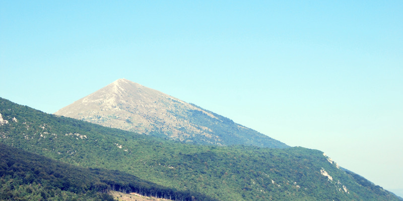
Šiljak Rtanj Guide
- Elevation: 1565
- Difficulty: Walk up
- Best months to climb: May, June, July, August
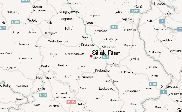
- Convenient center: Sokobanja, Boljevac, Paracin
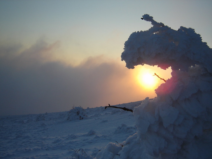
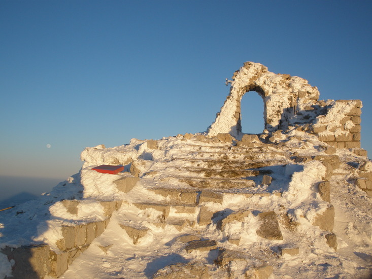
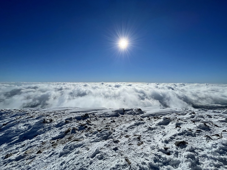
Šiljak Rtanj climbers Notes
Suzana Bojic from SERBIA writes:
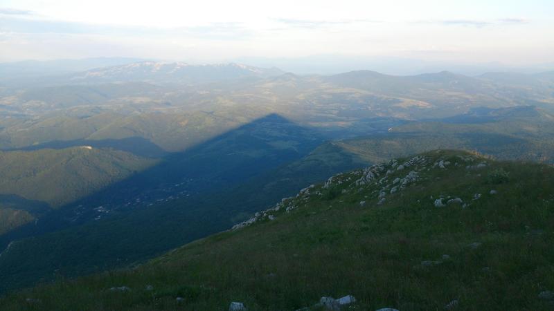
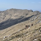
There are 3 major hiking routes. South route is fairly easy, very popular. Nort and "super north" routes are much more difficult, especially during winter months. Both north and super-north are approx. 1200m of constant ascent, both with 1000m in under 5 km, so vertical kilometer. Expect significant chill effect during winter.
2024-09-13 |
Click here to submit your own climbing note for Šiljak Rtanj
|
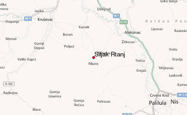
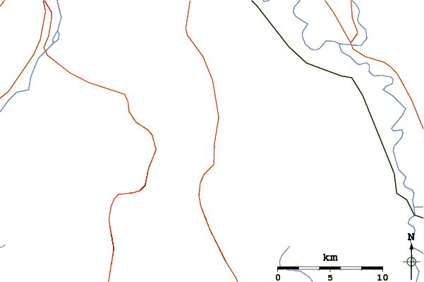
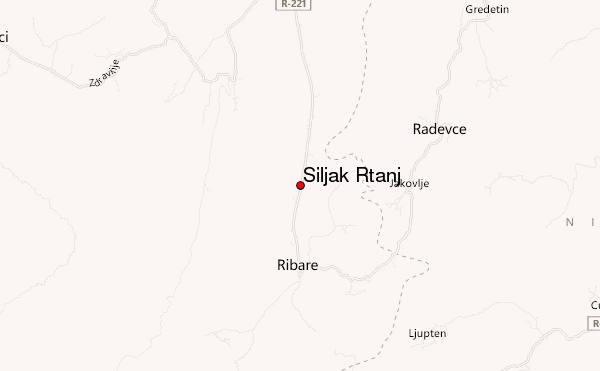
Select Šiljak Rtanj Location Map Detail:
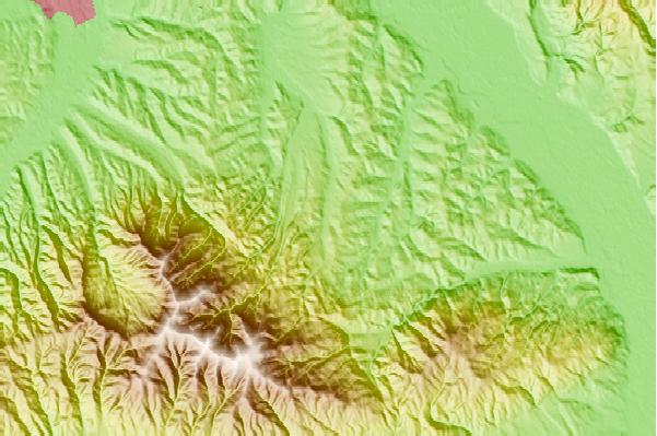
Use this relief map to navigate to mountain peaks in the area of Šiljak Rtanj.
10 other mountain peaks closest to Šiljak Rtanj:
 Šiljak Rtanj (Siljak Rtanj) – Climbing, Hiking & Mountaineering information


