– Lat/Long: 50.50° N 6.09° E
 Signal de Botrange – Climbing, Hiking & Mountaineering information

Signal de Botrange Guide
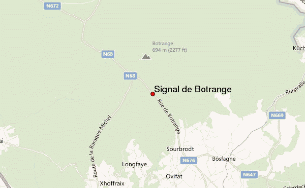
- Elevation: 694
- Difficulty: Walk up
- Best months to climb: -
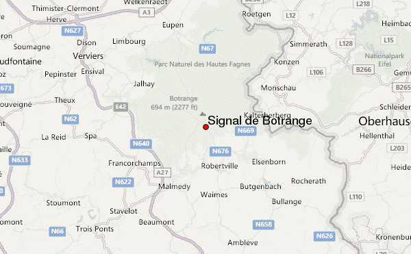
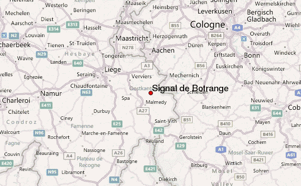
- Convenient center: Eupen, Malmedy
This is a high-altitude plain, with several spots over 650m in elevation, the highest of which, Botrange is also the highest spot in Belgium.. In the area are many marshes; so if the tracks are not covered with wood then you are advised to take your rubber boots with you. The highest point is not that far from the German border
Signal de Botrange climbers NotesBe the first to submit your climbers note! Please submit any useful information about climbing Signal de Botrange that may be useful to other climbers. Consider things such as access and accommodation at the base of Signal de Botrange, as well as the logistics of climbing to the summit. |
| Select a
mountain summit from the menu |
||
|
Select a Mountain Summit
|
||
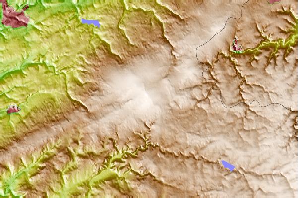
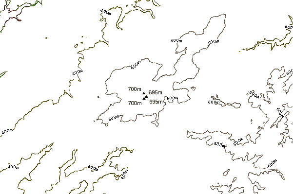
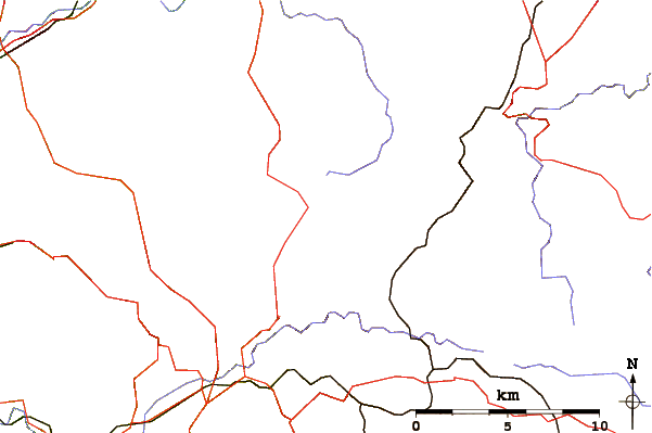
Use this relief map to navigate to mountain peaks in the area of Signal de Botrange.
10 other mountain peaks closest to Signal de Botrange:
| 1. | Bikepark Ferme Libert (506 m) | 7.7 km |
| 2. | Bikepark Sankt Vith (576 m) | 25.4 km |
| 3. | DIMB BikePark Rureifel (531 m) | 26.2 km |
| 4. | Vaalserberg (322 m) | 28.1 km |
| 5. | Schwarzer Mann (697 m) | 33.3 km |
| 6. | Buurgplaatz Road Summit (559 m) | 38.2 km |
| 7. | Buurgplaatz (559 m) | 38.2 km |
| 8. | Kneiff (560 m) | 38.6 km |
| 9. | Erbeskopf (818 m) | 111.0 km |
| 10. | Trailpark Erbeskopf (810 m) | 111.1 km |