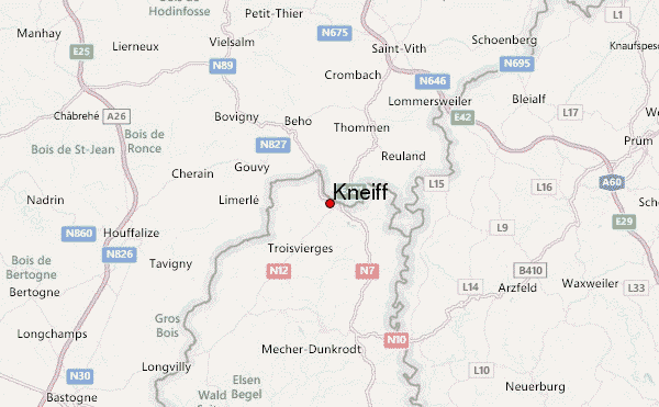
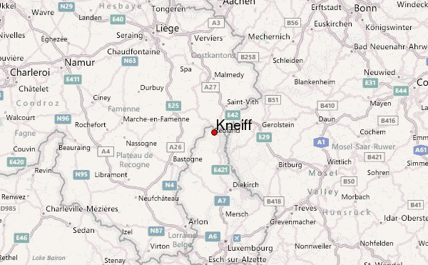
– Lat/Long: 50.16° N 6.04° E
 Kneiff – Climbing, Hiking & Mountaineering information

Kneiff Guide
- Elevation: 560
- Difficulty: -
- Best months to climb: -
- Convenient center: -
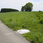
Kneiff climbers NotesBe the first to submit your climbers note! Please submit any useful information about climbing Kneiff that may be useful to other climbers. Consider things such as access and accommodation at the base of Kneiff, as well as the logistics of climbing to the summit. |
| Select a
mountain summit from the menu |
||
|
Select a Mountain Summit
|
||
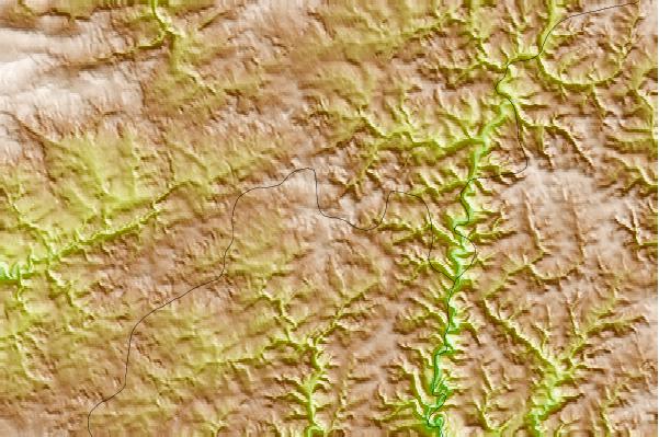
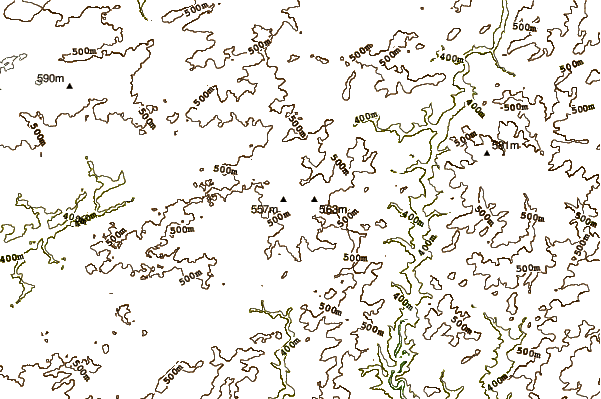
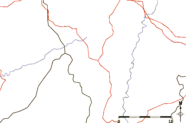
Use this relief map to navigate to mountain peaks in the area of Kneiff.
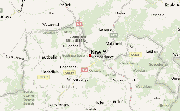
10 other mountain peaks closest to Kneiff:
| 1. | Buurgplaatz Road Summit (559 m) | 0.4 km |
| 2. | Buurgplaatz (559 m) | 1.1 km |
| 3. | Bikepark Sankt Vith (576 m) | 15.1 km |
| 4. | Schwarzer Mann (697 m) | 25.4 km |
| 5. | Bikepark Ferme Libert (506 m) | 32.2 km |
| 6. | Signal de Botrange (694 m) | 38.6 km |
| 7. | DIMB BikePark Rureifel (531 m) | 61.3 km |
| 8. | Vaalserberg (322 m) | 66.0 km |
| 9. | Erbeskopf (818 m) | 88.5 km |
| 10. | Trailpark Erbeskopf (810 m) | 88.7 km |