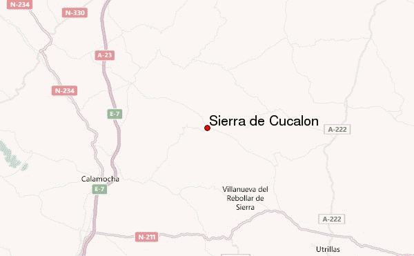
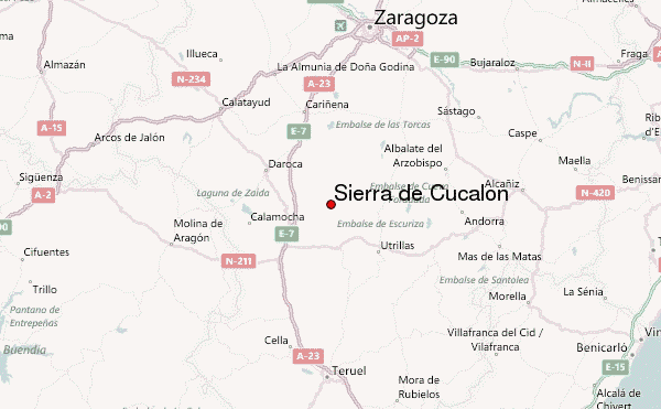
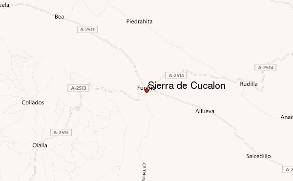
– Lat/Long: 41.00° N 1.08° W
 Sierra de Cucalón (Sierra de Cucalon) – Climbing, Hiking & Mountaineering information

Sierra de Cucalón Guide
- Elevation: 1517
- Difficulty: -
- Best months to climb: -
- Convenient center: -
Sierra de Cucalón climbers NotesBe the first to submit your climbers note! Please submit any useful information about climbing Sierra de Cucalón that may be useful to other climbers. Consider things such as access and accommodation at the base of Sierra de Cucalón, as well as the logistics of climbing to the summit. |
| Select a
mountain summit from the menu |
||
|
Select a Mountain Summit
|
||
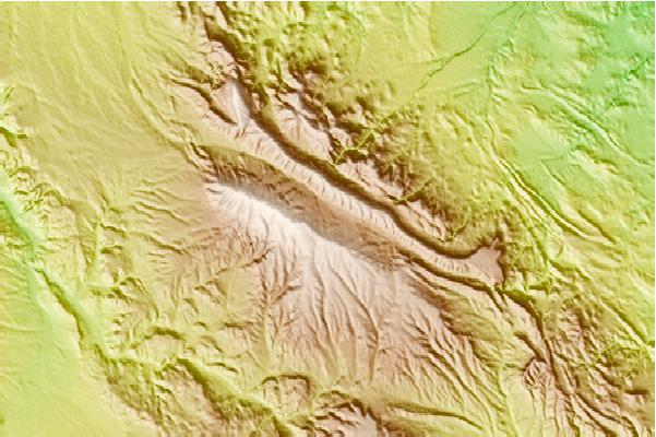
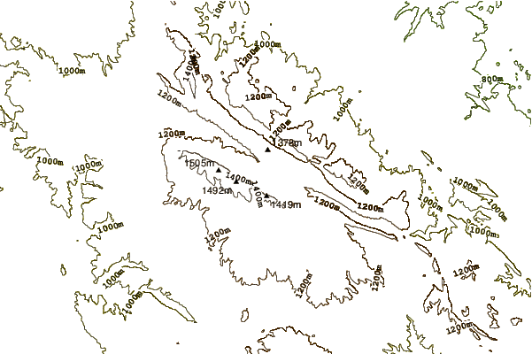
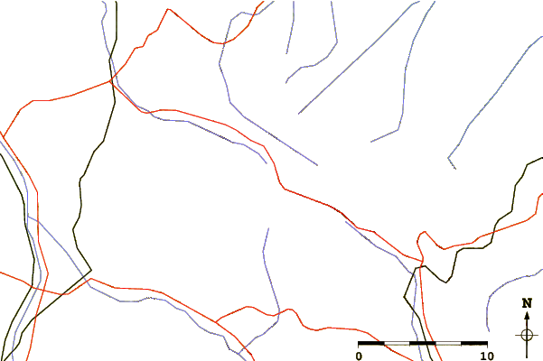
Use this relief map to navigate to mountain peaks in the area of Sierra de Cucalón.
10 other mountain peaks closest to Sierra de Cucalón:
| 1. | Lobo Hill (630 m) | 40.8 km |
| 2. | Sierra de Santa Cruz, Aragon (1423 m) | 42.0 km |
| 3. | Refugio Espigar (973 m) | 42.1 km |
| 4. | Refugio Codos (1050 m) | 42.7 km |
| 5. | Punto de Acogida del Camino del Cid de Pozuel del Campo (1 m) | 43.4 km |
| 6. | Refugio PINAR (1016 m) | 43.6 km |
| 7. | Refugio Collarte (955 m) | 44.3 km |
| 8. | Sierra de San Just (1522 m) | 45.3 km |
| 9. | Refugio RUESCA (1060 m) | 45.4 km |
| 10. | Refugio ORESA DE (1000 m) | 46.2 km |