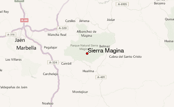
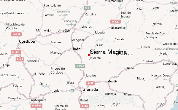
– Lat/Long: 37.72° N 3.47° W
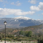
 Sierra Mágina (Sierra Magina) – Climbing, Hiking & Mountaineering information

Sierra Mágina Guide
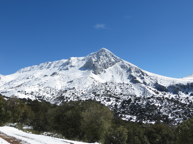
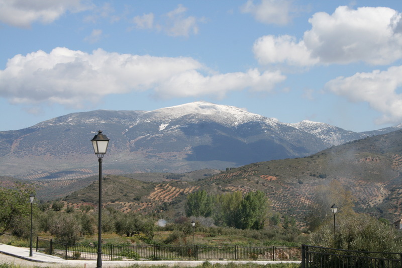
- Elevation: 2167
- Difficulty: -
- Best months to climb: -
- Convenient center: -
Sierra Mágina climbers NotesBe the first to submit your climbers note! Please submit any useful information about climbing Sierra Mágina that may be useful to other climbers. Consider things such as access and accommodation at the base of Sierra Mágina, as well as the logistics of climbing to the summit. |
| Select a
mountain summit from the menu |
||
|
Select a Mountain Summit
|
||
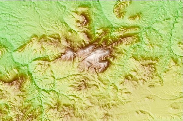
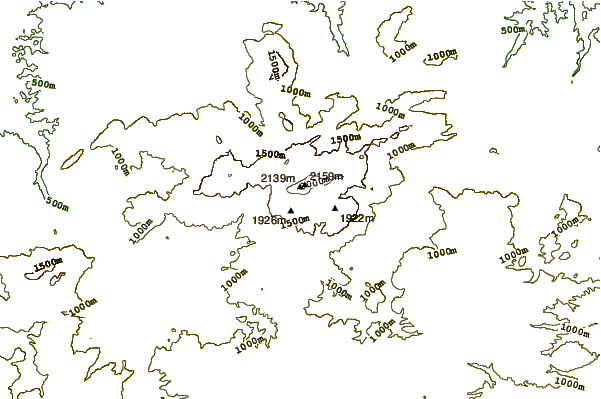
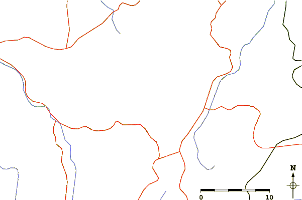
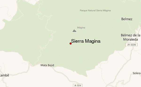
Use this relief map to navigate to mountain peaks in the area of Sierra Mágina.
10 other mountain peaks closest to Sierra Mágina:
| 1. | Refugio de Miramundos (2077 m) | 2.6 km |
| 2. | La Chimba (1200 m) | 23.1 km |
| 3. | Refugio Collado de Zamora (1449 m) | 43.3 km |
| 4. | Refugio CASETA CABANAS (2031 m) | 46.2 km |
| 5. | Refugio de Sacejo (1321 m) | 49.1 km |
| 6. | Sierra de Cazorla (1847 m) | 51.0 km |
| 7. | Refugio Fuente de Acero (1500 m) | 57.7 km |
| 8. | Refugio casa forestal La Zarza (1295 m) | 57.9 km |
| 9. | Refugio PRADOS LO-BUITRE (1796 m) | 59.0 km |
| 10. | Refugio del Buitre (1850 m) | 59.1 km |