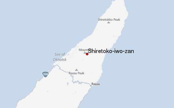
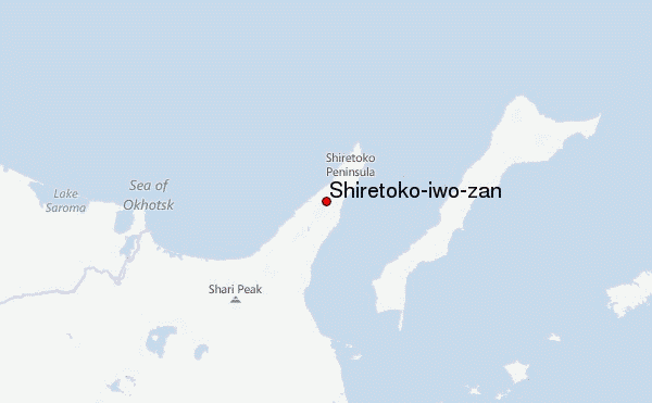
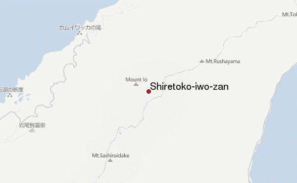
– Lat/Long: 44.13° N 145.17° E
 Shiretoko-iwo-zan – Climbing, Hiking & Mountaineering information

Shiretoko-iwo-zan Guide
- Elevation: 1563
- Difficulty: -
- Best months to climb: -
- Convenient center: -
Shiretoko-iwo-zan climbers NotesBe the first to submit your climbers note! Please submit any useful information about climbing Shiretoko-iwo-zan that may be useful to other climbers. Consider things such as access and accommodation at the base of Shiretoko-iwo-zan, as well as the logistics of climbing to the summit. |
| Select a
mountain summit from the menu |
||
|
Select a Mountain Summit
|
||
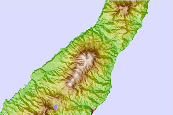
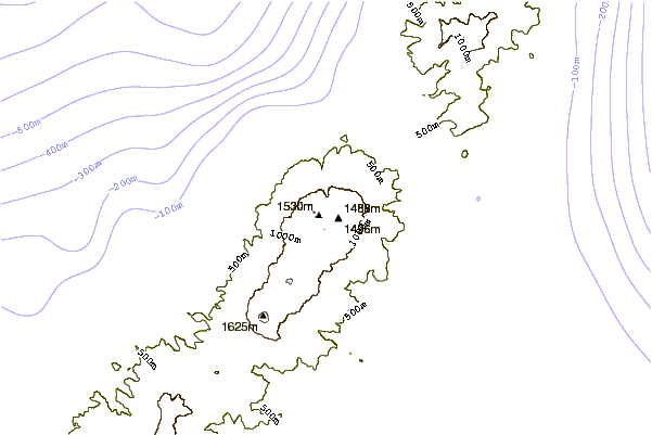
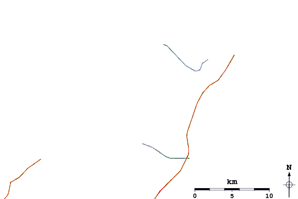
Use this relief map to navigate to mountain peaks in the area of Shiretoko-iwo-zan.
10 other mountain peaks closest to Shiretoko-iwo-zan:
| 1. | Mount Iō (Shiretoko) (1562 m) | 0.8 km |
| 2. | Rausu (1660 m) | 7.3 km |
| 3. | Mount Onnebetsu (1330 m) | 19.8 km |
| 4. | Mount Unabetsu (1419 m) | 37.5 km |
| 5. | Golovnin (543 m) | 42.1 km |
| 6. | Mendeleev (volcano) (888 m) | 48.4 km |
| 7. | Mount Shari (1547 m) | 54.3 km |
| 8. | Mount Kamui (Lake Mashū caldera) (857 m) | 79.0 km |
| 9. | Mount Iō (Akan) (508 m) | 82.4 km |
| 10. | Smirnov (1189 m) | 83.5 km |