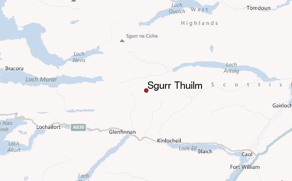
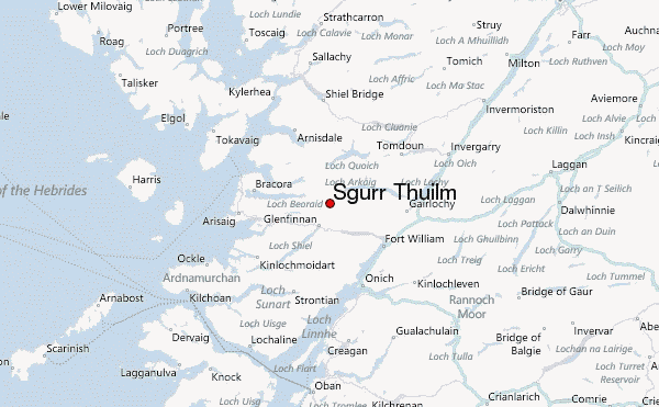
– Lat/Long: 56.94° N 5.39° W
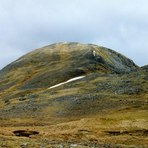
 Sgurr Thuilm – Climbing, Hiking & Mountaineering information

Sgurr Thuilm Guide
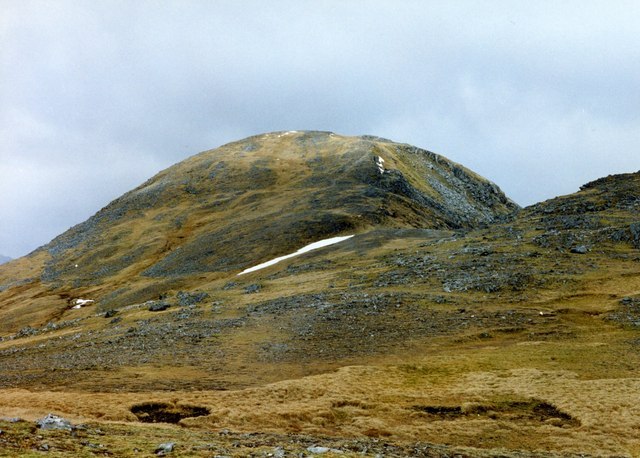
- Elevation: 963
- Difficulty: -
- Best months to climb: -
- Convenient center: -
Sgurr Thuilm climbers NotesBe the first to submit your climbers note! Please submit any useful information about climbing Sgurr Thuilm that may be useful to other climbers. Consider things such as access and accommodation at the base of Sgurr Thuilm, as well as the logistics of climbing to the summit. |
| Select a
mountain summit from the menu |
||
|
Select a Mountain Summit
|
||
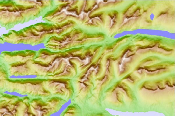
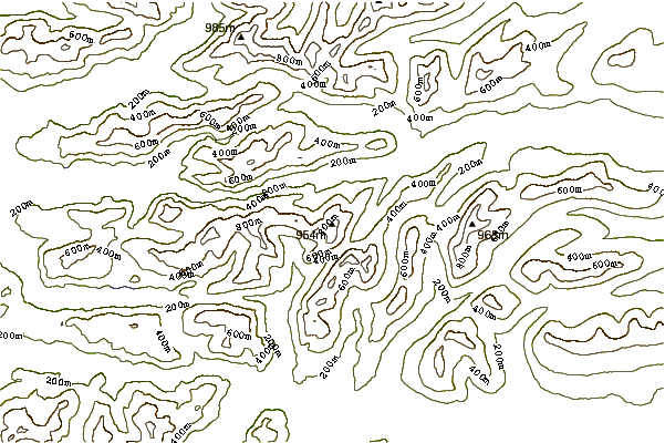
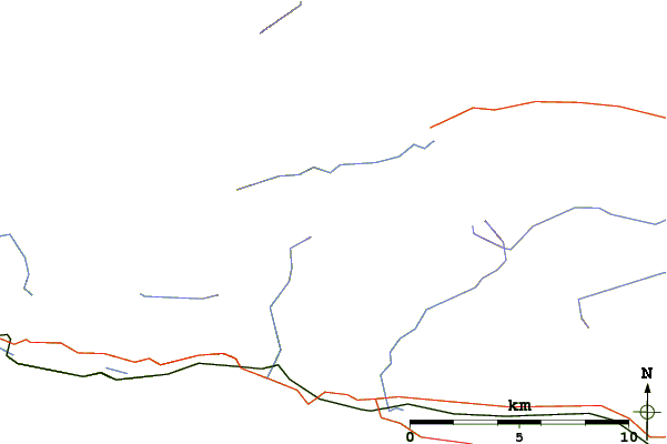
Use this relief map to navigate to mountain peaks in the area of Sgurr Thuilm.
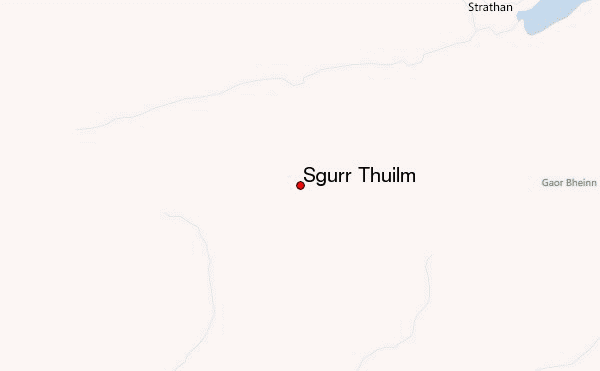
10 other mountain peaks closest to Sgurr Thuilm:
| 1. | Glenpean Bothy (106 m) | 2.4 km |
| 2. | A' Chuil (137 m) | 4.5 km |
| 3. | Carn Mòr (829 m) | 4.6 km |
| 4. | Gleann Dubh-lighe (128 m) | 6.0 km |
| 5. | Gaor Bheinn (987 m) | 6.3 km |
| 6. | Oban Bothy (11 m) | 7.8 km |
| 7. | Sgùrr na Cìche (1040 m) | 9.4 km |
| 8. | Sourlies Bothy (24 m) | 10.1 km |
| 9. | Kinbreack Bothy (45 m) | 10.3 km |
| 10. | Essan Bothy (34 m) | 13.7 km |