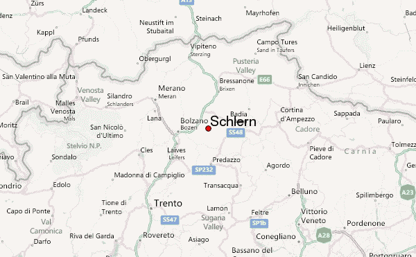
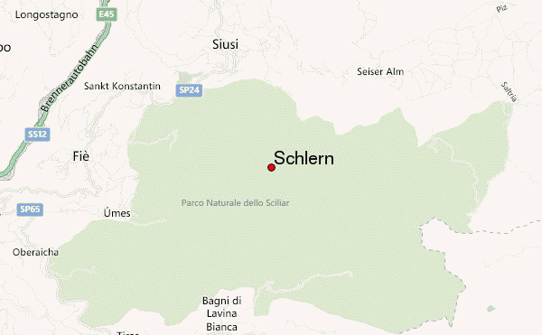
– Lat/Long: 46.52° N 11.58° E
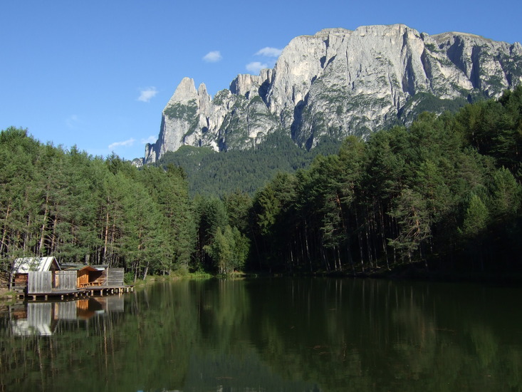
 Schlern – Climbing, Hiking & Mountaineering information

Schlern Guide
- Elevation: 2563
- Difficulty: -
- Best months to climb: -
- Convenient center: -
Schlern climbers NotesBe the first to submit your climbers note! Please submit any useful information about climbing Schlern that may be useful to other climbers. Consider things such as access and accommodation at the base of Schlern, as well as the logistics of climbing to the summit. |
| Select a
mountain summit from the menu |
||
|
Select a Mountain Summit
|
||
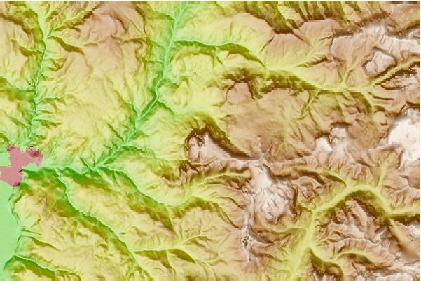
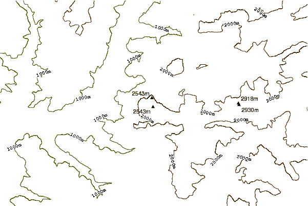
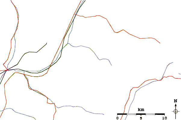
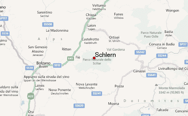
Use this relief map to navigate to mountain peaks in the area of Schlern.
10 other mountain peaks closest to Schlern:
| 1. | Bolzano - Schlern Mountain Hut (2457 m) | 0.9 km |
| 2. | Alpe di Tires - Tierser Alpl Mountain Hut (2440 m) | 4.8 km |
| 3. | Bergamo - Grasleiten Mountain Hut (2165 m) | 5.3 km |
| 4. | Capanna Malga Boccia (1800 m) | 5.4 km |
| 5. | Molignon - Mahlknecht Mountain Hut (2054 m) | 5.9 km |
| 6. | Catinaccio (2981 m) | 6.2 km |
| 7. | Vajolet Towers (2821 m) | 6.3 km |
| 8. | Passo Santner - Santnerpass Mountain Hut (2741 m) | 6.5 km |
| 9. | Passo Principe - Grasleitenpass Mountain Hut (2599 m) | 6.6 km |
| 10. | Rosengarten group (3002 m) | 7.2 km |