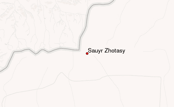
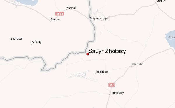
– Lat/Long: 47.05° N 85.57° E
 Sauyr Zhotasy – Climbing, Hiking & Mountaineering information

Sauyr Zhotasy Guide
- Elevation: 3840
- Difficulty: -
- Best months to climb: -
- Convenient center: -
Sauyr Zhotasy climbers NotesBe the first to submit your climbers note! Please submit any useful information about climbing Sauyr Zhotasy that may be useful to other climbers. Consider things such as access and accommodation at the base of Sauyr Zhotasy, as well as the logistics of climbing to the summit. |
| Select a
mountain summit from the menu |
||
|
Select a Mountain Summit
|
||
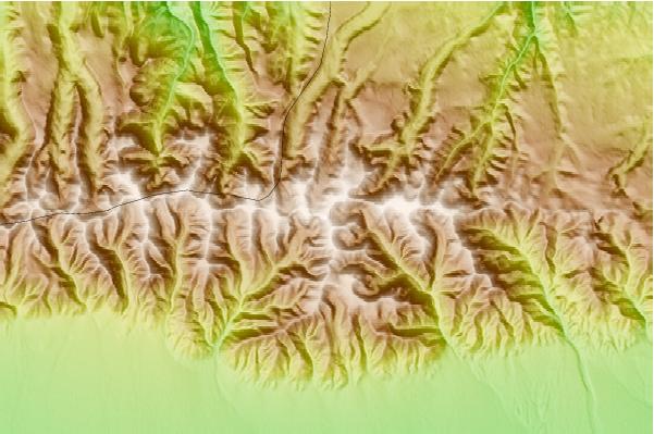
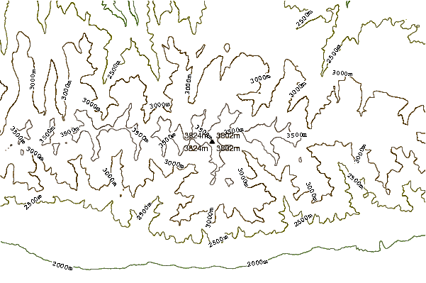
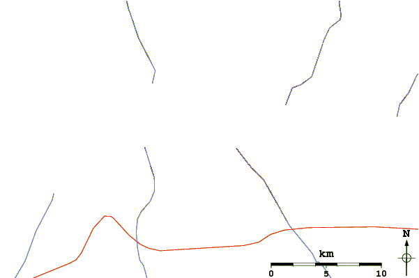
Use this relief map to navigate to mountain peaks in the area of Sauyr Zhotasy.
10 other mountain peaks closest to Sauyr Zhotasy:
| 1. | Öndor Hairhan (3914 m) | 268.9 km |
| 2. | Khuiten Uul or Huithen (4374 m) | 269.3 km |
| 3. | Khüiten Peak or Friendship Peak (友谊峰) (4374 m) | 287.2 km |
| 4. | Nairamdal Peak (4180 m) | 288.8 km |
| 5. | Tavan Bogd (4082 m) | 289.0 km |
| 6. | Gora Belukha (4506 m) | 316.1 km |
| 7. | Malchin Peak (4050 m) | 321.1 km |
| 8. | Tsengel Khairkhan (3943 m) | 321.7 km |
| 9. | Aktru (4045 m) | 369.7 km |
| 10. | Höh Serkh (4019 m) | 413.3 km |