– Lat/Long: 33.78° S 69.90° W
 San José (volcano) (San Jose (volcano)) – Climbing, Hiking & Mountaineering information

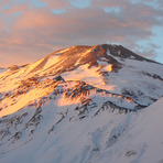
San José (volcano) Guide
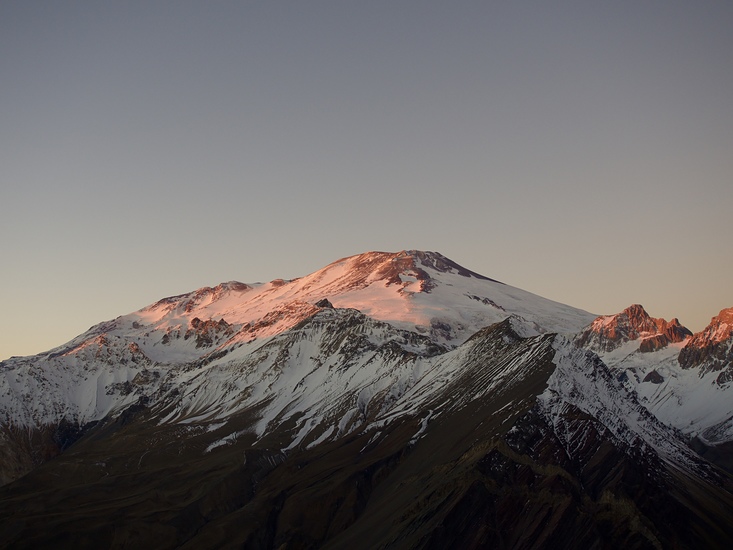
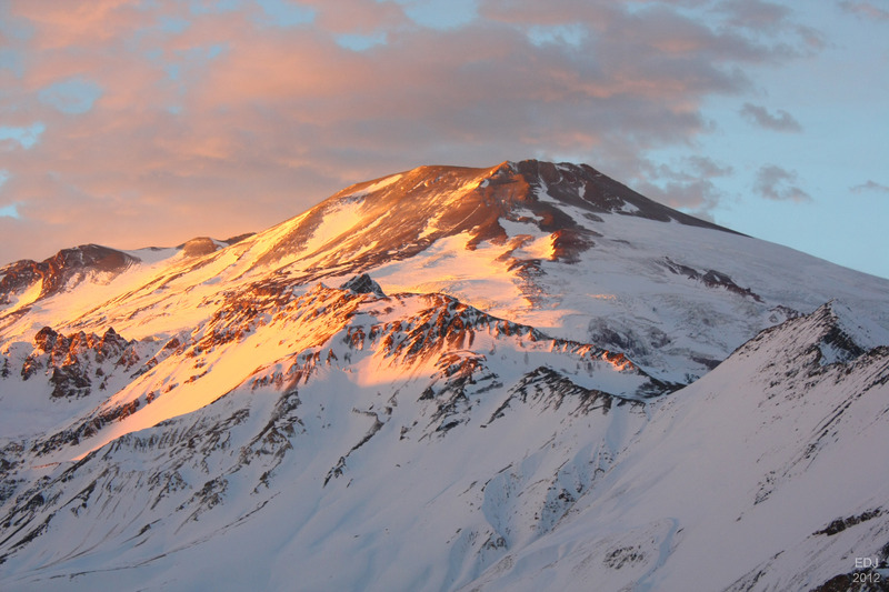
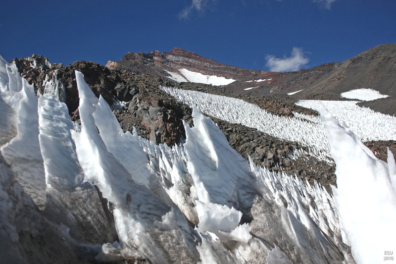
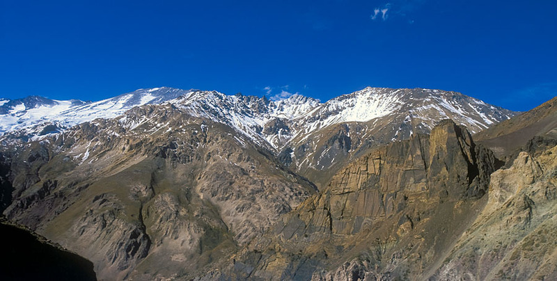
- Elevation: 5856
- Difficulty: -
- Best months to climb: -
- Convenient center: -
San José (volcano) climbers NotesBe the first to submit your climbers note! Please submit any useful information about climbing San José (volcano) that may be useful to other climbers. Consider things such as access and accommodation at the base of San José (volcano), as well as the logistics of climbing to the summit. |
| Select a
mountain summit from the menu |
||
|
Select a Mountain Summit
|
||
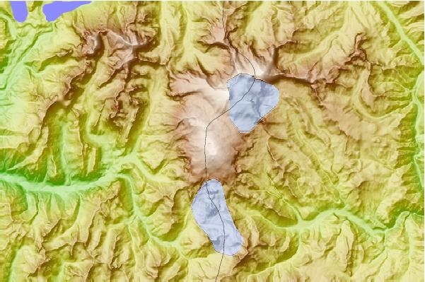
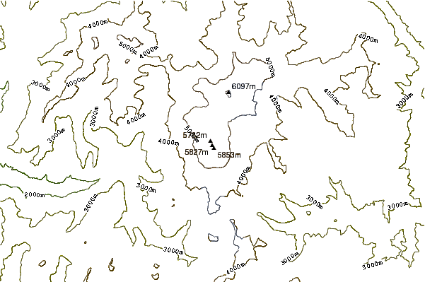
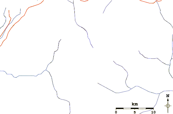
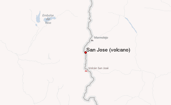
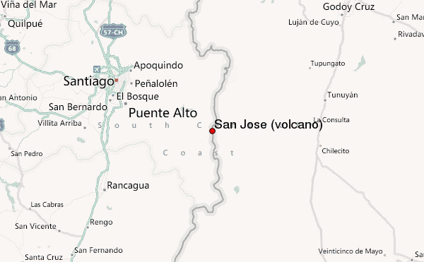
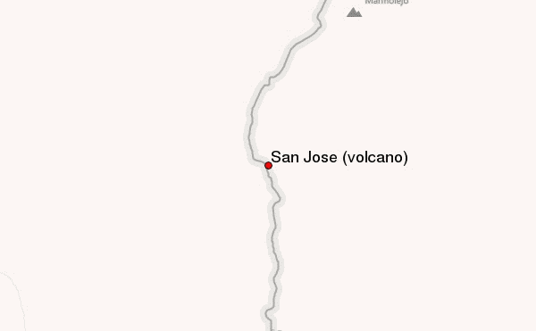
Use this relief map to navigate to mountain peaks in the area of San José (volcano).
10 other mountain peaks closest to San José (volcano):
| 1. | Volcan San Jose (5856 m) | 0.0 km |
| 2. | Espíritu Santo (volcano) (5692 m) | 3.3 km |
| 3. | Marmolejo (6108 m) | 6.1 km |
| 4. | Cerro Arenas (4450 m) | 11.2 km |
| 5. | Cerro El Morado (4650 m) | 16.5 km |
| 6. | Cerro Piramide (5520 m) | 27.8 km |
| 7. | Alto San Juan (6148 m) | 35.7 km |
| 8. | Tupungatito (6000 m) | 40.9 km |
| 9. | Maipo (volcano) (5264 m) | 42.6 km |
| 10. | Maipo (5264 m) | 42.6 km |