Pasochoa Guide
- Elevation: 4199
- Difficulty: Walk up
- Best months to climb: -
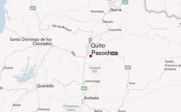
- Convenient center: Quito
Pasochoa climbers Notes
Franz from GERMANY writes:
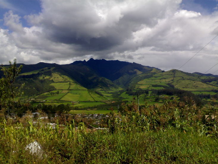
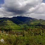
Pasochoa is an easy wlak up with nice views of the interandean valley. Starting point should be the town of Amaguaña (just south-east of Quito). At the center you can organize a pick-up truck which will take you up to 3300m. From there follow the narrow path for about 1½ hours up to the treeless paramo. after this point it is important that you have view of the peak, because if it is foggy or cloudy you might follow one of the countless cow-paths and might get lost. Another danger are the Bulls which are specially kept up here in the high alpine pasture to make them more aggressive for "el torrero". Avoid them.
In dry season (Nov.-Feb.) the rivers my dry out so bring enough water with you. However Pasochoa can be climbed year around.
Keep on hiking up the pastures until you are below the main peak. From here are two possibilities. At the right edge is a small path which goes up to the top, but very steep if you fall into the crater. The other option is to walk around the summit block which is only about 250m, and then climb the south edge up to the summit.
Summary:
Easy access
Often quite windy at the crater edge
In foggy condition danger of getting lost
2012-10-25 |
Click here to submit your own climbing note for Pasochoa
|
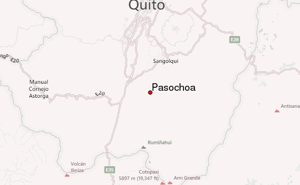
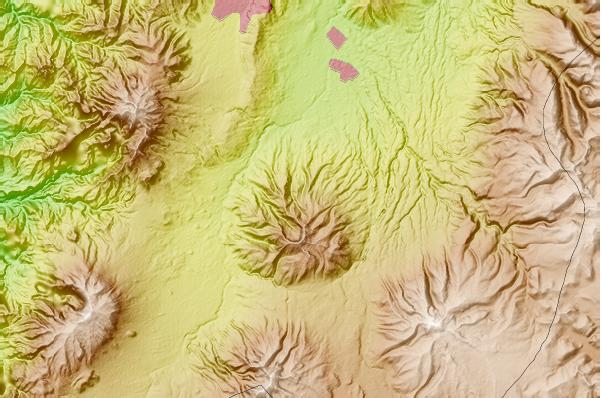
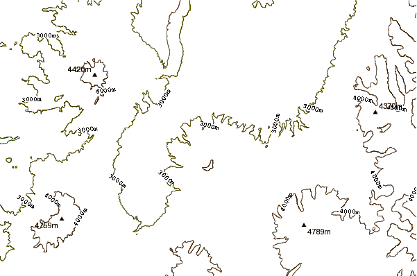
Select Pasochoa Location Map Detail:
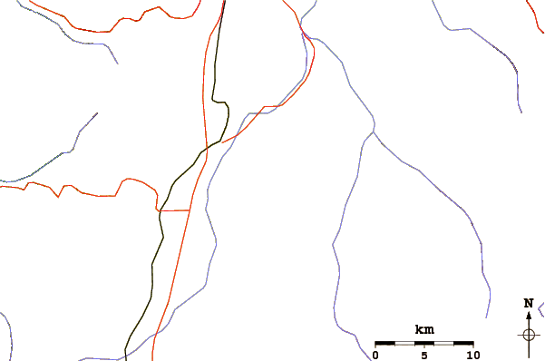
Use this relief map to navigate to mountain peaks in the area of Pasochoa.
10 other mountain peaks closest to Pasochoa:
 Pasochoa – Climbing, Hiking & Mountaineering information