– Lat/Long: 39.29° S 175.56° E
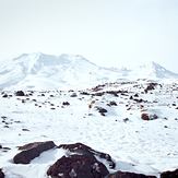
 Ruapehu
Weather Forecast, New ZealandIssued: 11 pm Mon 03 Aug Local TimeUpdates in: hr min sUpdate imminent
Issued: 11 pm Mon 03 Aug Local Time
Updates in:
Update imminent hr min s

Issued: 11 pm Mon 03 Aug Local Time
Updates in:
Update imminent hr min s
Days 1–4 Weather SummaryA dusting of new snow. Temperatures will be below freezing (max -2°C on Mon night, min -9°C on Tue afternoon). Winds decreasing (gales from the S on Tue night, light winds from the SW by Thu morning). | Days 5–7 Weather SummaryA moderate fall of snow, heaviest on Sat night. Temperatures will be below freezing (max -1°C on Fri morning, min -4°C on Thu night). Winds decreasing (near gales from the NW on Sat afternoon, calm by Sun afternoon). | |||||||||||||||
Tuesday 4 | Wednesday 5 | Thursday 6 | Friday 7 | Saturday 8 | ||||||||||||
night | AM | PM | night | AM | PM | night | AM | PM | night | AM | PM | night | AM | PM | night | |
some clouds | some clouds | snow shwrs | some clouds | some clouds | clear | clear | clear | clear | clear | clear | some clouds | some clouds | cloudy | cloudy | heavy snow | |
Cloud base (m) | 700 | 700 | 800 | 800 | 750 | 900 | 750 | 750 | 1700 | 800 | 750 | 800 | 700 | 700 | 700 | |
km/h | ||||||||||||||||
 |  |  |  |  |  | |||||||||||
— | — | 2 | — | — | — | — | — | — | — | — | — | — | — | — | 17 | |
mm | — | — | — | — | — | — | — | — | — | — | — | — | — | — | — | — |
max °C | -2 | -5 | -8 | -8 | -7 | -6 | -5 | -4 | -4 | -2 | -1 | -1 | -1 | -1 | -1 | -1 |
min °C | -3 | -6 | -9 | -9 | -8 | -7 | -6 | -5 | -4 | -4 | -2 | -1 | -1 | -1 | -1 | -2 |
chill °C | -12 | -15 | -20 | -21 | -20 | -16 | -14 | -12 | -10 | -10 | -7 | -6 | -8 | -9 | -9 | -8 |
Freezing level m | 1550 | 1100 | 850 | 500 | 650 | 950 | 500 | 1150 | 1400 | 1250 | 1600 | 1600 | 1800 | 1850 | 1750 | 1850 |
— | 7:18 | — | — | 7:16 | — | — | 7:16 | — | — | 7:15 | — | — | 7:13 | — | — | |
— | — | 5:29 | — | — | 5:30 | — | — | 5:30 | — | — | 5:30 | — | — | 5:31 | — | |
Loading...
Ruapehu Weather (Days 0-3):
The weather forecast for Ruapehu is: A dusting of new snow. Temperatures will be below freezing (max -2°C on Mon night, min -9°C on Tue afternoon). Winds decreasing (gales from the S on Tue night, light winds from the SW by Thu morning).
Ruapehu Weather (Days 3-6):
A moderate fall of snow, heaviest on Sat night. Temperatures will be below freezing (max -1°C on Fri morning, min -4°C on Thu night). Winds decreasing (near gales from the NW on Sat afternoon, calm by Sun afternoon).
This table gives the weather forecast for Ruapehu at the specific elevation of 2000 m. Our advanced weather models allow us to provide distinct weather forecasts for several elevations of Ruapehu. To see the weather forecasts for the other elevations, use the tab navigation above the table. For a wider overview of the weather, consult the Weather Map of New Zealand.
Ruapehu Photos
View all
North Island Volcanics photos (45) |
New Zealand photos (156) |
photos from mountains in New Zealand (160) |
all photos
 Upload new photo
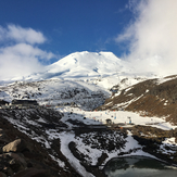
 See 9 more Ruapehu photos
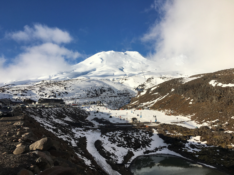
Mt. Ruapehu - Turoa Skifield
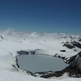
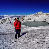
Crater lake on top of Mt Ruapehu
Ruapehu
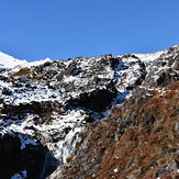
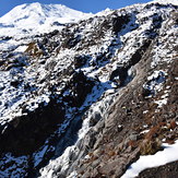
Cascades
Cascades
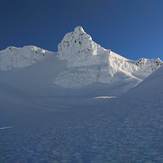
Tukino Peak