– Lat/Long: 2.35° N 125.42° E
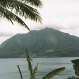
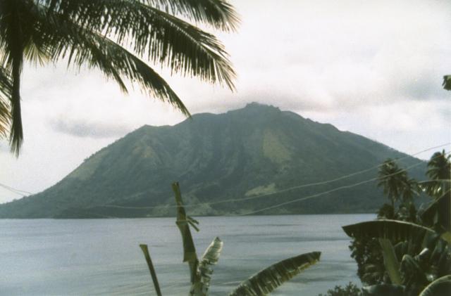
 Ruang
Ruang
Weather Forecast, IndonesiaIssued: 1 pm Sat 01 Aug Local TimeUpdates in: hr min sUpdate imminent
Issued: 1 pm Sat 01 Aug Local Time
Updates in:
Update imminent hr min s

Issued: 1 pm Sat 01 Aug Local Time
Updates in:
Update imminent hr min s
Days 1–4 Weather SummaryMostly dry. Warm (max 24°C on Sun afternoon, min 23°C on Sat afternoon). Mainly fresh winds. | Days 5–7 Weather SummaryMostly dry. Warm (max 23°C on Tue afternoon, min 22°C on Thu morning). Mainly fresh winds. | ||||||||||||||||
Sat 1 | Sunday 2 | Monday 3 | Tuesday 4 | Wednesday 5 | Thursday 6 | ||||||||||||
PM | night | AM | PM | night | AM | PM | night | AM | PM | night | AM | PM | night | AM | PM | night | |
clear | clear | clear | clear | clear | clear | clear | clear | clear | clear | clear | clear | clear | clear | clear | clear | clear | |
Cloud base (m) | |||||||||||||||||
km/h | |||||||||||||||||
 |  |  |  |  |  | ||||||||||||
— | — | — | — | — | — | — | — | — | — | — | — | — | — | — | — | — | |
mm | — | — | — | — | — | — | — | — | — | — | — | — | — | — | — | — | — |
max °C | 23 | 23 | 23 | 24 | 23 | 23 | 24 | 24 | 23 | 23 | 23 | 23 | 23 | 23 | 23 | 23 | 23 |
min °C | 23 | 23 | 23 | 23 | 23 | 23 | 23 | 23 | 23 | 23 | 23 | 23 | 23 | 23 | 22 | 23 | 23 |
chill °C | 23 | 23 | 23 | 23 | 23 | 23 | 23 | 23 | 23 | 23 | 23 | 23 | 23 | 23 | 22 | 23 | 23 |
Freezing level m | 5050 | 4950 | 5100 | 5200 | 5050 | 5050 | 5100 | 5050 | 5150 | 5200 | 5150 | 5200 | 5150 | 5050 | 5150 | 5100 | 5050 |
— | — | 5:37 | — | — | 5:37 | — | — | 5:37 | — | — | 5:37 | — | — | 5:37 | — | — | |
5:51 | — | — | 5:51 | — | — | 5:51 | — | — | 5:50 | — | — | 5:50 | — | — | 5:50 | — | |
Loading...
Ruang Weather (Days 0-3):
The weather forecast for Ruang is: Mostly dry. Warm (max 24°C on Sun afternoon, min 23°C on Sat afternoon). Mainly fresh winds.
Ruang Weather (Days 3-6):
Mostly dry. Warm (max 23°C on Tue afternoon, min 22°C on Thu morning). Mainly fresh winds.
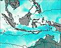
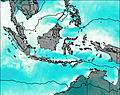
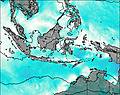
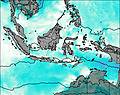
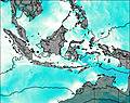
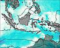
This table gives the weather forecast for Ruang at the specific elevation of 725 m. Our advanced weather models allow us to provide distinct weather forecasts for several elevations of Ruang. To see the weather forecasts for the other elevations, use the tab navigation above the table. For a wider overview of the weather, consult the Weather Map of Indonesia.
| Weather Station | Temp. | Weather | Wind | Gusts | Cloud / Visibility |
|---|---|---|---|---|---|
Menad / am Ratulangi International Airport | |||||
Dava / rancisco Bangoy International Airport | |||||
Davao Airport | |||||
Malaybalay | |||||
* NOTE: not all weather observatories update at the same frequency which is the reason why some locations may show data from stations that are further away than known closer ones.