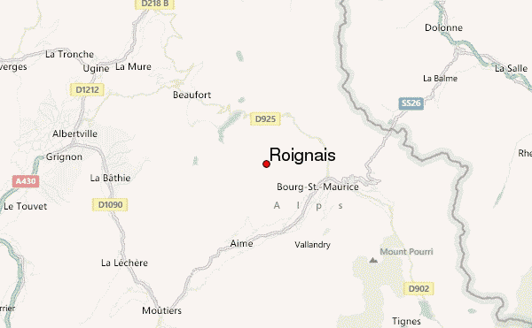
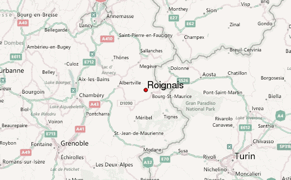
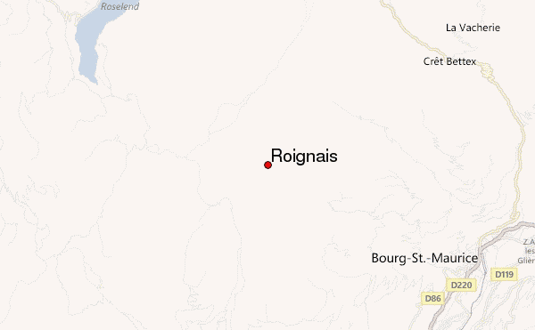
– Lat/Long: 45.64° N 6.69° E
 Roignais – Climbing, Hiking & Mountaineering information

Roignais Guide
- Elevation: 2995
- Difficulty: -
- Best months to climb: -
- Convenient center: -
Roignais climbers NotesBe the first to submit your climbers note! Please submit any useful information about climbing Roignais that may be useful to other climbers. Consider things such as access and accommodation at the base of Roignais, as well as the logistics of climbing to the summit. |
| Select a
mountain summit from the menu |
||
|
Select a Mountain Summit
|
||
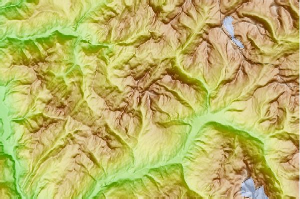
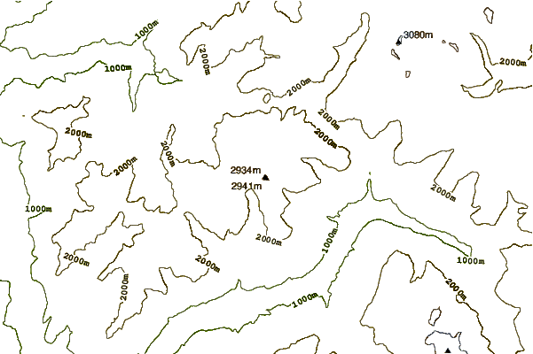
Use this relief map to navigate to mountain peaks in the area of Roignais.
10 other mountain peaks closest to Roignais:
| 1. | Refuge de Presset (2514 m) | 2.1 km |
| 2. | Aiguille du Grand Fond (2920 m) | 2.9 km |
| 3. | Pierra Menta (mountain) (2714 m) | 3.0 km |
| 4. | Pointe de la Terrasse (2881 m) | 4.1 km |
| 5. | Grande Parel (2725 m) | 4.1 km |
| 6. | Mont Coin (2539 m) | 5.4 km |
| 7. | Crête des Gittes (2538 m) | 7.8 km |
| 8. | Refuge du col de la Croix du Bonhomme (2443 m) | 10.3 km |
| 9. | Crêt du Rey (2633 m) | 10.6 km |
| 10. | Aiguilles de la Penaz (2688 m) | 11.4 km |