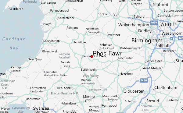
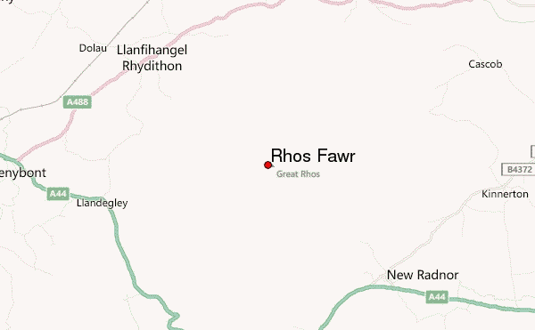
– Lat/Long: 52.27° N 3.20° W
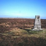
 Rhos Fawr – Climbing, Hiking & Mountaineering information

Rhos Fawr Guide
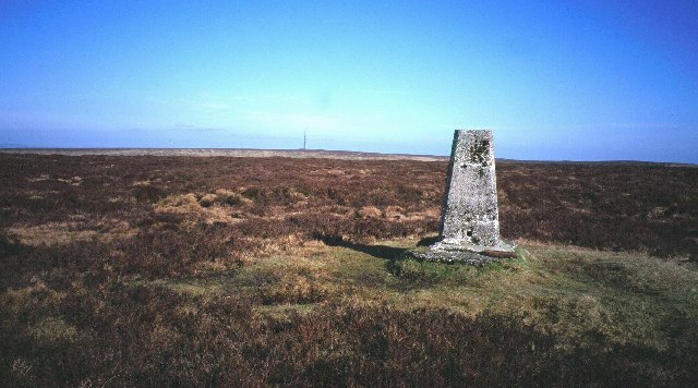
- Elevation: 660
- Difficulty: -
- Best months to climb: -
- Convenient center: -
Rhos Fawr climbers NotesBe the first to submit your climbers note! Please submit any useful information about climbing Rhos Fawr that may be useful to other climbers. Consider things such as access and accommodation at the base of Rhos Fawr, as well as the logistics of climbing to the summit. |
| Select a
mountain summit from the menu |
||
|
Select a Mountain Summit
|
||
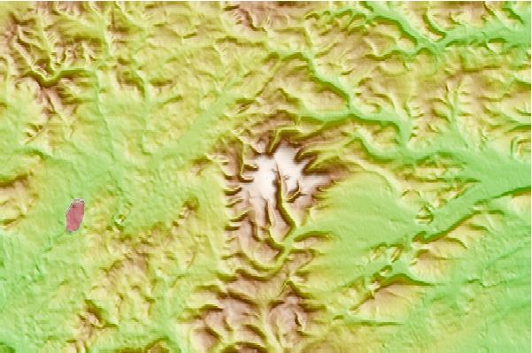
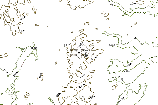
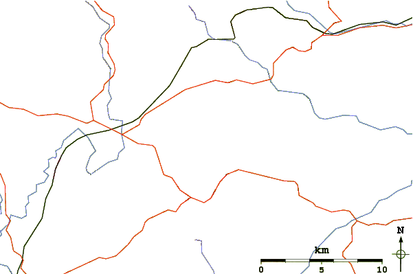
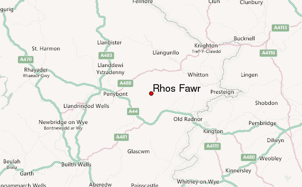
Use this relief map to navigate to mountain peaks in the area of Rhos Fawr.
10 other mountain peaks closest to Rhos Fawr:
| 1. | Radnor Forest (660 m) | 0.8 km |
| 2. | Black Mixen (650 m) | 1.5 km |
| 3. | Bache Hill (610 m) | 3.2 km |
| 4. | Hergest Ridge (426 m) | 10.6 km |
| 5. | Beacon Hill, Powys (547 m) | 12.9 km |
| 6. | Pegwn Mawr (586 m) | 23.5 km |
| 7. | Garreg Lwyd (Rhayader) (499 m) | 25.8 km |
| 8. | Burrow (Shropshire) (358 m) | 27.5 km |
| 9. | Hay Bluff (677 m) | 28.0 km |
| 10. | Lluest Cwm Bach (350 m) | 28.8 km |