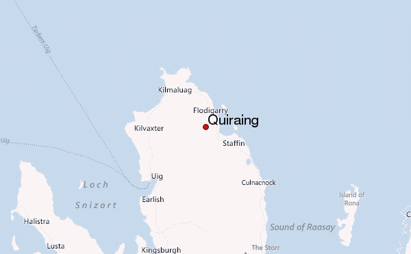
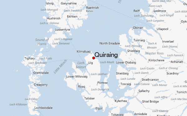
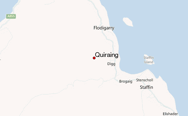
– Lat/Long: 57.64° N 6.26° W
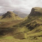
 Quiraing – Climbing, Hiking & Mountaineering information

Quiraing Guide
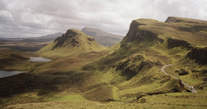
- Elevation: 543
- Difficulty: -
- Best months to climb: -
- Convenient center: -
Quiraing climbers NotesBe the first to submit your climbers note! Please submit any useful information about climbing Quiraing that may be useful to other climbers. Consider things such as access and accommodation at the base of Quiraing, as well as the logistics of climbing to the summit. |
| Select a
mountain summit from the menu |
||
|
Select a Mountain Summit
|
||
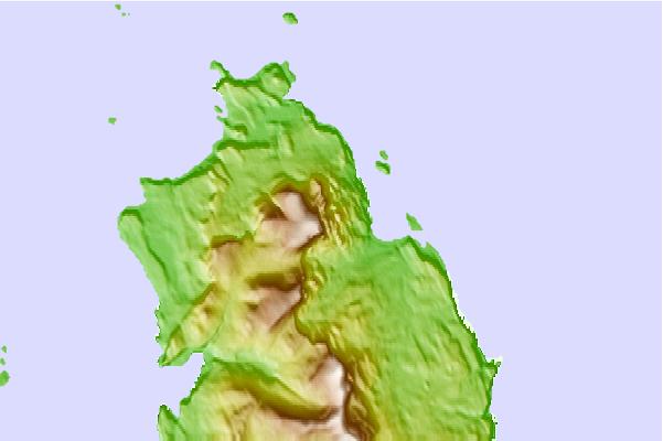
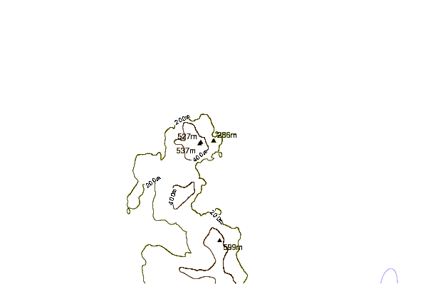
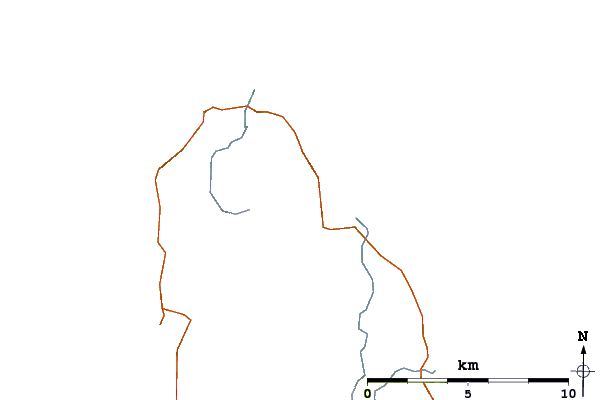
Use this relief map to navigate to mountain peaks in the area of Quiraing.
10 other mountain peaks closest to Quiraing:
| 1. | The Storr (719 m) | 16.0 km |
| 2. | Taigh Thormoid Dhuibh (Raasay) (15 m) | 23.1 km |
| 3. | Ben Tianavaig (413 m) | 29.2 km |
| 4. | Craig Bothy (83 m) | 32.3 km |
| 5. | Ollisdal Bothy (89 m) | 38.6 km |
| 6. | Glamaig (775 m) | 39.8 km |
| 7. | Beinn Alligin (986 m) | 41.7 km |
| 8. | Baosbheinn (875 m) | 41.7 km |
| 9. | Beinn Bhàn (Applecross) (896 m) | 42.5 km |
| 10. | Uags Bothy (23 m) | 43.5 km |