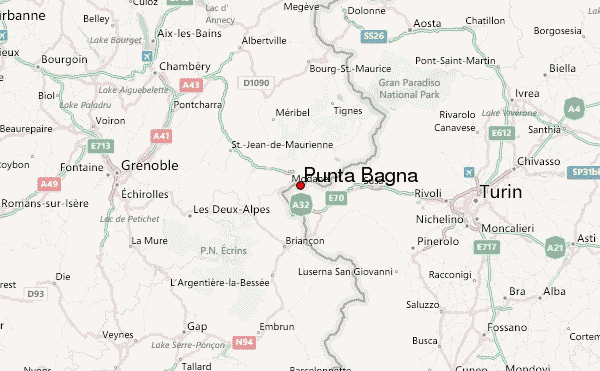
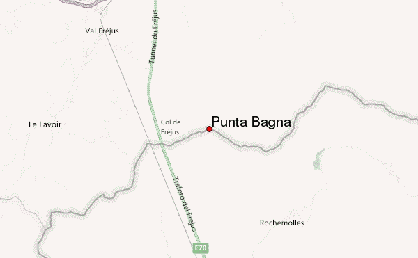
– Lat/Long: 45.14° N 6.71° E
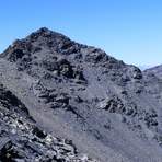
 Punta Bagnà (Punta Bagna) – Climbing, Hiking & Mountaineering information

Punta Bagnà Guide
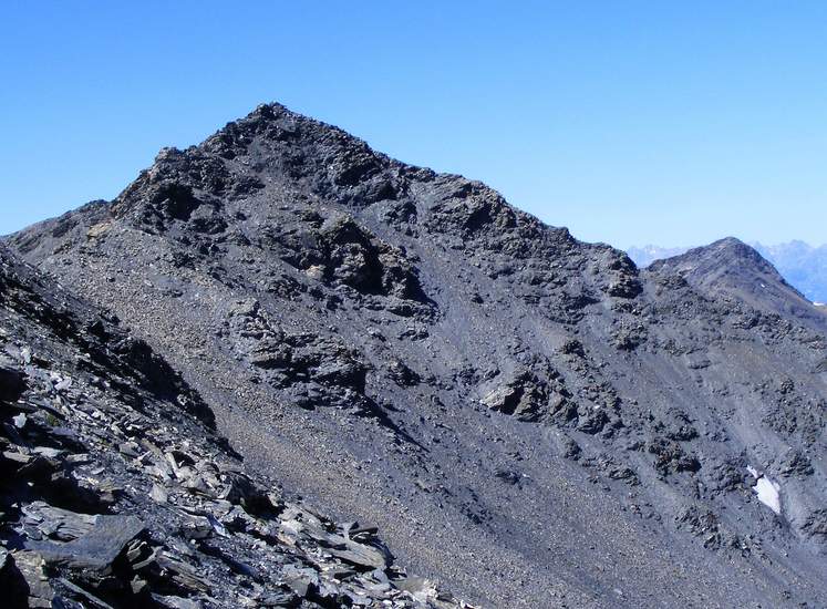
- Elevation: 3129
- Difficulty: -
- Best months to climb: -
- Convenient center: -
Punta Bagnà climbers NotesBe the first to submit your climbers note! Please submit any useful information about climbing Punta Bagnà that may be useful to other climbers. Consider things such as access and accommodation at the base of Punta Bagnà, as well as the logistics of climbing to the summit. |
| Select a
mountain summit from the menu |
||
|
Select a Mountain Summit
|
||
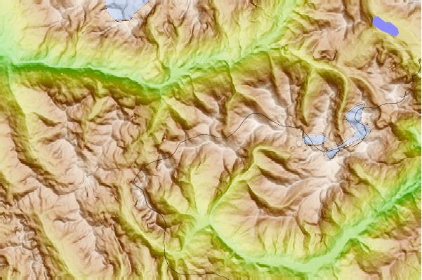
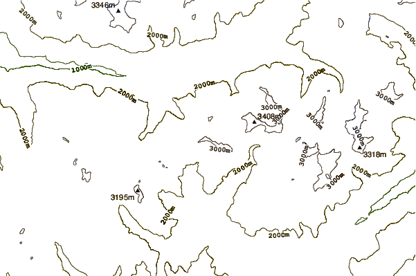
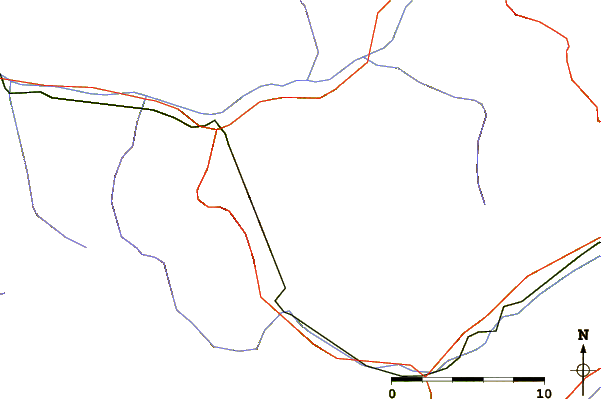
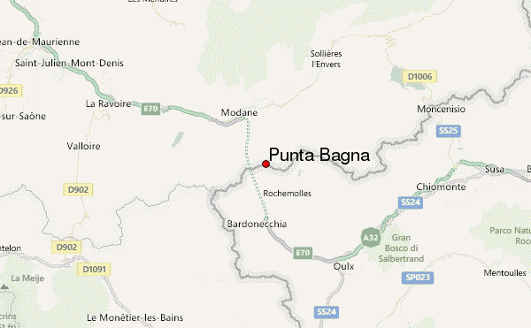
Use this relief map to navigate to mountain peaks in the area of Punta Bagnà.
10 other mountain peaks closest to Punta Bagnà:
| 1. | Pointe de Paumont (3171 m) | 1.5 km |
| 2. | Aiguille de Scolette (3506 m) | 4.7 km |
| 3. | Rifugio Scarfiotti Camillo/crosetto Silvia (2165 m) | 7.3 km |
| 4. | Rocca Bernauda (3225 m) | 8.1 km |
| 5. | Refuge du Mont Thabor (2502 m) | 9.1 km |
| 6. | Bardonecchia Bike Park (2667 m) | 9.6 km |
| 7. | Rognosa d'Etiache (3382 m) | 9.8 km |
| 8. | Punta Sommeiller (3333 m) | 11.3 km |
| 9. | Mont Thabor (3178 m) | 11.8 km |
| 10. | Rifugio Guido Rey (1761 m) | 11.9 km |