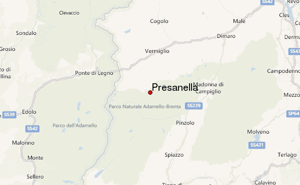
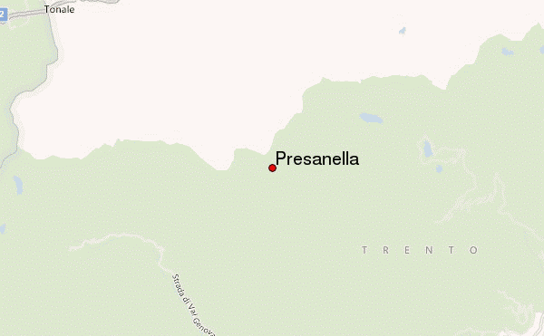
– Lat/Long: 46.22° N 10.67° E
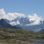
 Presanella – Climbing, Hiking & Mountaineering information

Presanella Guide
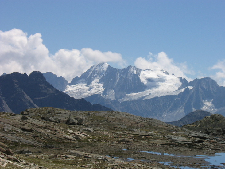
- Elevation: 3558
- Difficulty: Basic Snow and Ice Climb
- Best months to climb: June, July, August
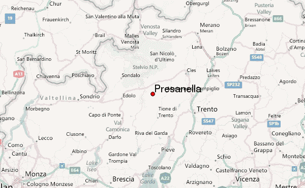
- Convenient center: vermiglio ,val di sole
Presanella climbers NotesBe the first to submit your climbers note! Please submit any useful information about climbing Presanella that may be useful to other climbers. Consider things such as access and accommodation at the base of Presanella, as well as the logistics of climbing to the summit. |
| Select a
mountain summit from the menu |
||
|
Select a Mountain Summit
|
||
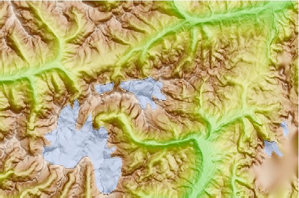
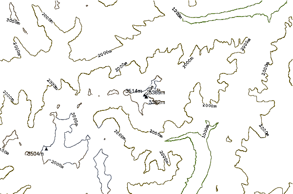
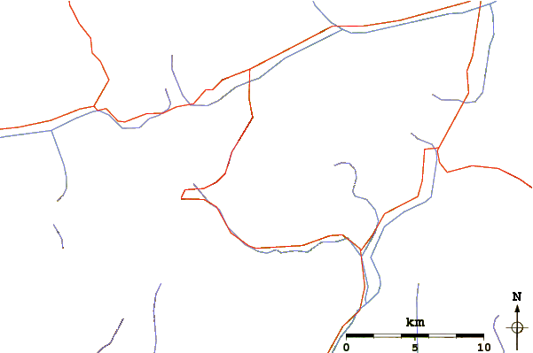
Use this relief map to navigate to mountain peaks in the area of Presanella.
10 other mountain peaks closest to Presanella:
| 1. | Bivacco Cima Presanella/brigata Orobica (3382 m) | 0.0 km |
| 2. | Rifugio Stavèl (Francesco Denza) (2298 m) | 3.1 km |
| 3. | Rifugio Val d´Amola (Giovanni Segantini) (2373 m) | 3.5 km |
| 4. | Bivacco Presanella/roberti Vittorio (2204 m) | 3.6 km |
| 5. | Scarpaco (3252 m) | 3.7 km |
| 6. | Bivacco Canali Jack (2480 m) | 4.5 km |
| 7. | Bivacco Begey Ernesto (2943 m) | 5.7 km |
| 8. | Rifugio Mandron/citta' Di Trento (2449 m) | 7.6 km |
| 9. | Rifugio ai Caduti dell´Adamello (Lobbia) (3040 m) | 9.5 km |
| 10. | Bivacco Laeng Gualtiero (3191 m) | 10.6 km |