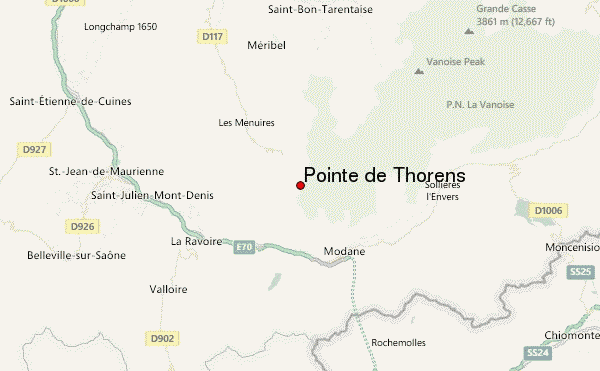
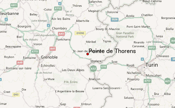
– Lat/Long: 45.26° N 6.61° E
 Pointe de Thorens – Climbing, Hiking & Mountaineering information

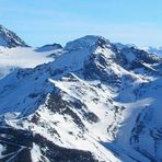
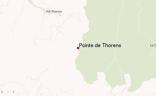
Pointe de Thorens Guide
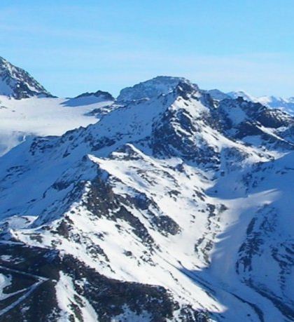
- Elevation: 3266
- Difficulty: -
- Best months to climb: -
- Convenient center: -
Pointe de Thorens climbers NotesBe the first to submit your climbers note! Please submit any useful information about climbing Pointe de Thorens that may be useful to other climbers. Consider things such as access and accommodation at the base of Pointe de Thorens, as well as the logistics of climbing to the summit. |
| Select a
mountain summit from the menu |
||
|
Select a Mountain Summit
|
||
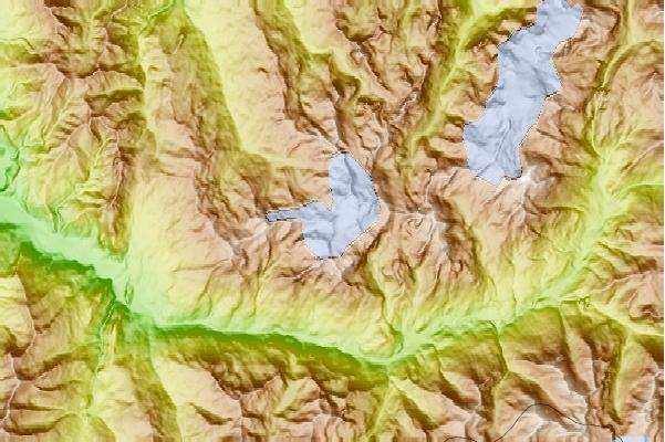
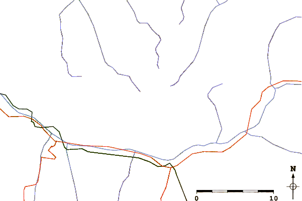
Use this relief map to navigate to mountain peaks in the area of Pointe de Thorens.
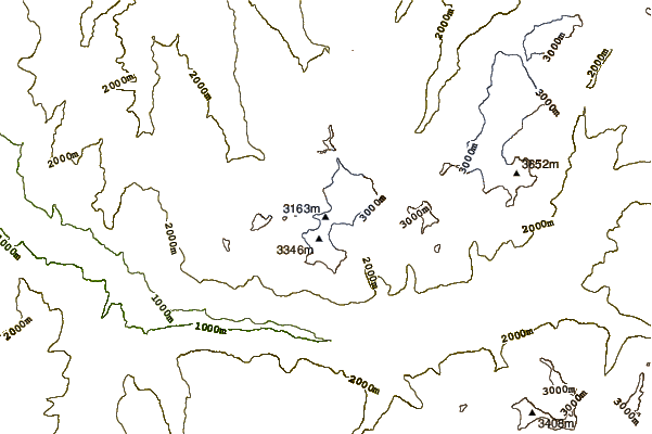
10 other mountain peaks closest to Pointe de Thorens:
| 1. | Épaule du Bouchet (3250 m) | 0.7 km |
| 2. | Pointe du Bouchet (3420 m) | 1.3 km |
| 3. | Roc des Saints Pères (3470 m) | 1.7 km |
| 4. | Mont de Gébroulaz (3511 m) | 1.9 km |
| 5. | Aiguille de Peclet (3561 m) | 2.1 km |
| 6. | Pointe Rénod (3368 m) | 2.1 km |
| 7. | Dôme de Polset (3501 m) | 2.7 km |
| 8. | Aiguille de Polset (3531 m) | 2.9 km |
| 9. | Cime de Caron (3195 m) | 3.7 km |
| 10. | Mont du Borgne (3153 m) | 4.4 km |