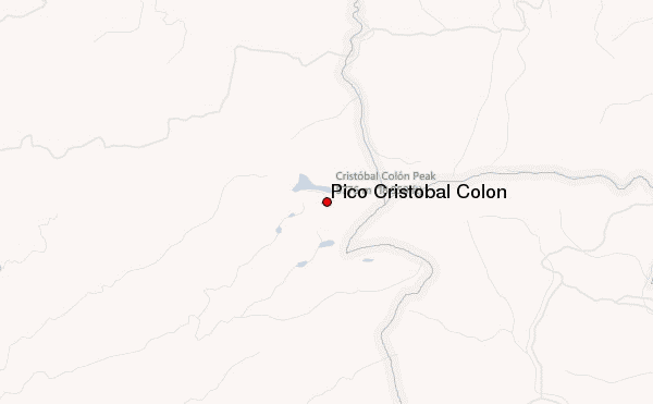
– Lat/Long: 10.83° N 73.68° W
 Pico Cristobal Colon – Climbing, Hiking & Mountaineering information

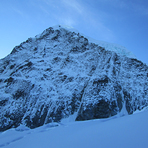
Pico Cristobal Colon Guide
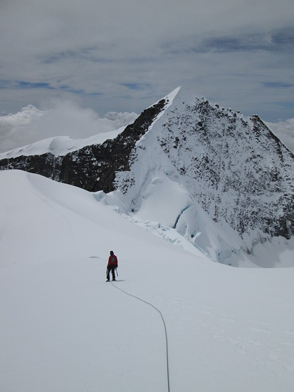
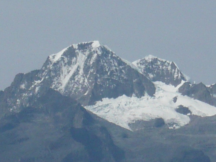
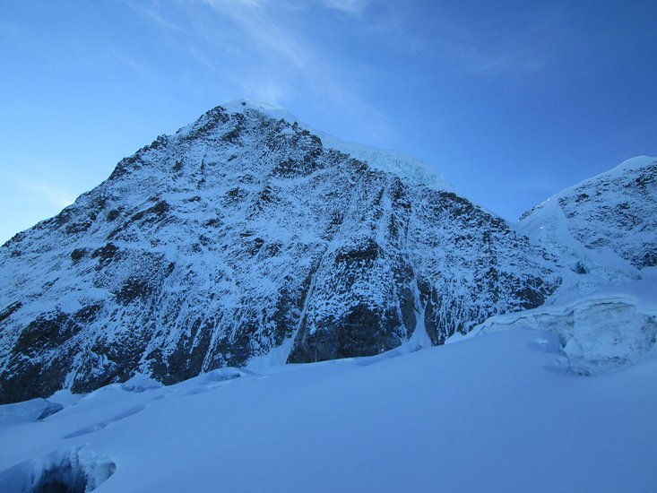
- Elevation: 5775
- Difficulty: Basic Snow and Ice Climb
- Best months to climb: December, January, February, March
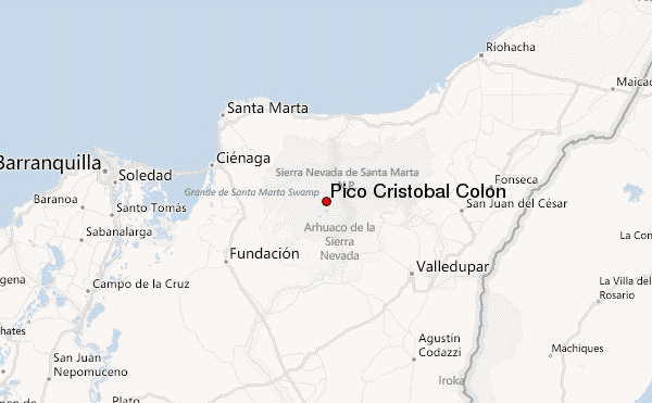
- Convenient center: Valledupar (25 miles southeast of the mountain)
Pico Cristobal Colon climbers NotesBe the first to submit your climbers note! Please submit any useful information about climbing Pico Cristobal Colon that may be useful to other climbers. Consider things such as access and accommodation at the base of Pico Cristobal Colon, as well as the logistics of climbing to the summit. |
| Select a
mountain summit from the menu |
||
|
Select a Mountain Summit
|
||
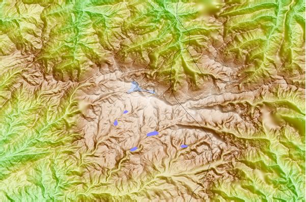
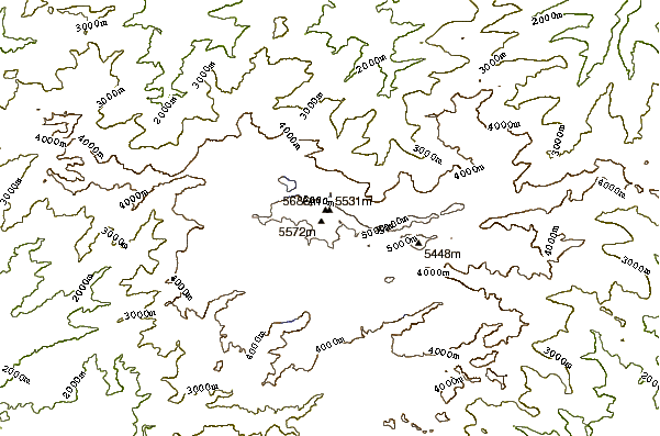
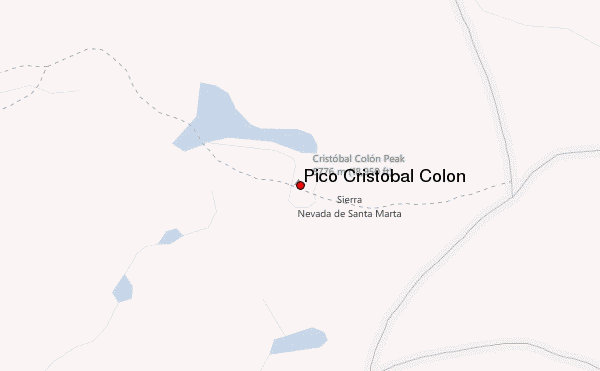
Use this relief map to navigate to mountain peaks in the area of Pico Cristobal Colon.
10 other mountain peaks closest to Pico Cristobal Colon:
| 1. | Sierra Nevada de Santa Marta (5700 m) | 5.5 km |
| 2. | Cerro Pintado (3660 m) | 102.2 km |
| 3. | Pico Piedras Blancas (4737 m) | 291.3 km |
| 4. | Pico Pan de Azúcar (4680 m) | 372.7 km |
| 5. | EL Buitre or Micanon (4650 m) | 375.5 km |
| 6. | El Toro (4729 m) | 382.9 km |
| 7. | Pico El Águila (4118 m) | 384.1 km |
| 8. | Pico La Concha (4942 m) | 385.5 km |
| 9. | Pico Espejo (4765 m) | 385.5 km |
| 10. | Pico Bolivar (5007 m) | 385.8 km |