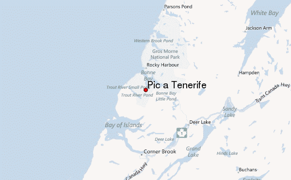
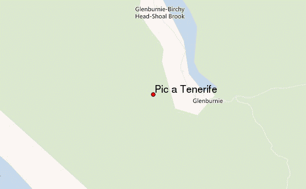
– Lat/Long: 49.44° N 57.92° W
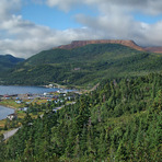
 Pic a Tenerife – Climbing, Hiking & Mountaineering information

Pic a Tenerife Guide
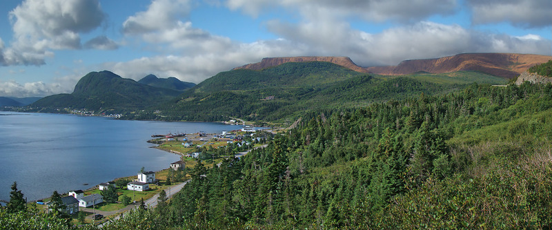
- Elevation: 545
- Difficulty: -
- Best months to climb: -
- Convenient center: -
Pic a Tenerife climbers NotesBe the first to submit your climbers note! Please submit any useful information about climbing Pic a Tenerife that may be useful to other climbers. Consider things such as access and accommodation at the base of Pic a Tenerife, as well as the logistics of climbing to the summit. |
| Select a
mountain summit from the menu |
||
|
Select a Mountain Summit
|
||
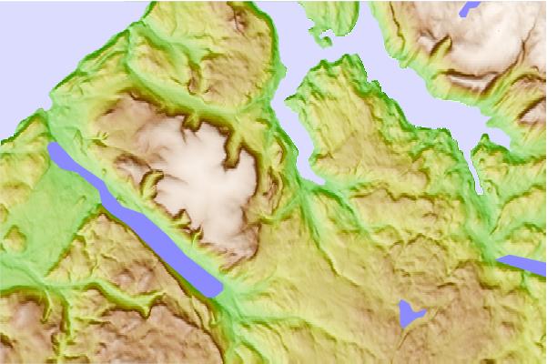
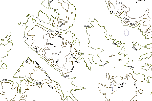
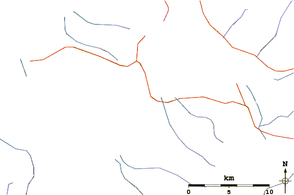
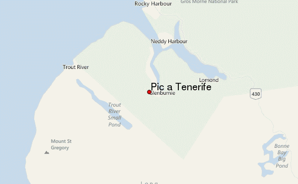
Use this relief map to navigate to mountain peaks in the area of Pic a Tenerife.
10 other mountain peaks closest to Pic a Tenerife:
| 1. | Gros Morne (807 m) | 19.3 km |
| 2. | Mount Musgrave (546 m) | 56.7 km |
| 3. | The Cabox (814 m) | 78.5 km |
| 4. | Morne de la Grande Montagne (240 m) | 291.7 km |
| 5. | White Hill (Nova Scotia) (532 m) | 363.7 km |
| 6. | Sgurra Bhreac (Nova Scotia) (222 m) | 433.1 km |
| 7. | Keppoch Mountain (219 m) | 535.5 km |
| 8. | Mont Jacques-Cartier (1268 m) | 586.7 km |
| 9. | Nuttby Mountain (360 m) | 587.4 km |
| 10. | Wentworth Mountain Bike Park (284 m) | 600.1 km |