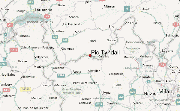
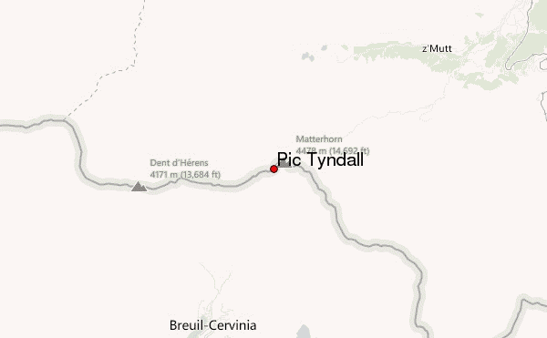
– Lat/Long: 45.98° N 7.65° E
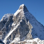
 Pic Tyndall – Climbing, Hiking & Mountaineering information

Pic Tyndall Guide
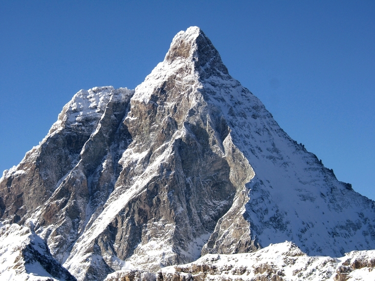
- Elevation: 4241
- Difficulty: -
- Best months to climb: -
- Convenient center: -
Pic Tyndall climbers NotesBe the first to submit your climbers note! Please submit any useful information about climbing Pic Tyndall that may be useful to other climbers. Consider things such as access and accommodation at the base of Pic Tyndall, as well as the logistics of climbing to the summit. |
| Select a
mountain summit from the menu |
||
|
Select a Mountain Summit
|
||
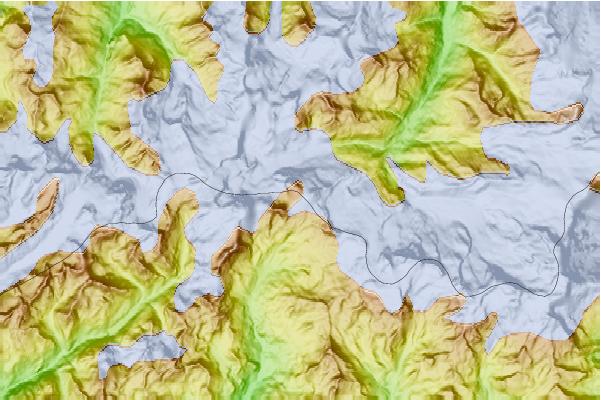
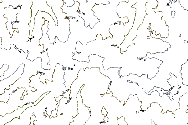
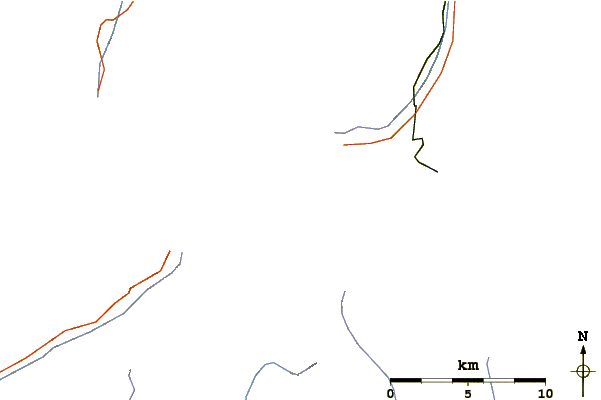
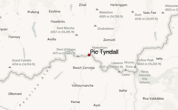
Use this relief map to navigate to mountain peaks in the area of Pic Tyndall.
10 other mountain peaks closest to Pic Tyndall:
| 1. | Matterhorn (4478 m) | 0.4 km |
| 2. | Rifugio Carrel (3829 m) | 0.5 km |
| 3. | Picco Muzio (4187 m) | 0.5 km |
| 4. | Solvay Hut (4033 m) | 0.8 km |
| 5. | Solvaybiwak SAC (4003 m) | 0.8 km |
| 6. | Bivacco Bossi (3345 m) | 1.2 km |
| 7. | Bivacco Enzo e Nino Benedetti (3497 m) | 1.8 km |
| 8. | Lonza Biwak (2973 m) | 1.9 km |
| 9. | Hörnlihütte (3260 m) | 2.0 km |
| 10. | Rifugio Duca Degli Abruzzi Oriondé (2802 m) | 2.0 km |